Open Thinkering

Menu

Tag: mountains

Quality Mountain Day 15: Dale Head, Hindscarth, and High Spy

Regular readers will know that I’m trying to complete twenty Quality Mountain Days (QMDs) so I can book myself on a a Mountain Leader course. Every one of these I’ve done so far has been by myself, partly because I enjoy it that way, and partly down to logistics.

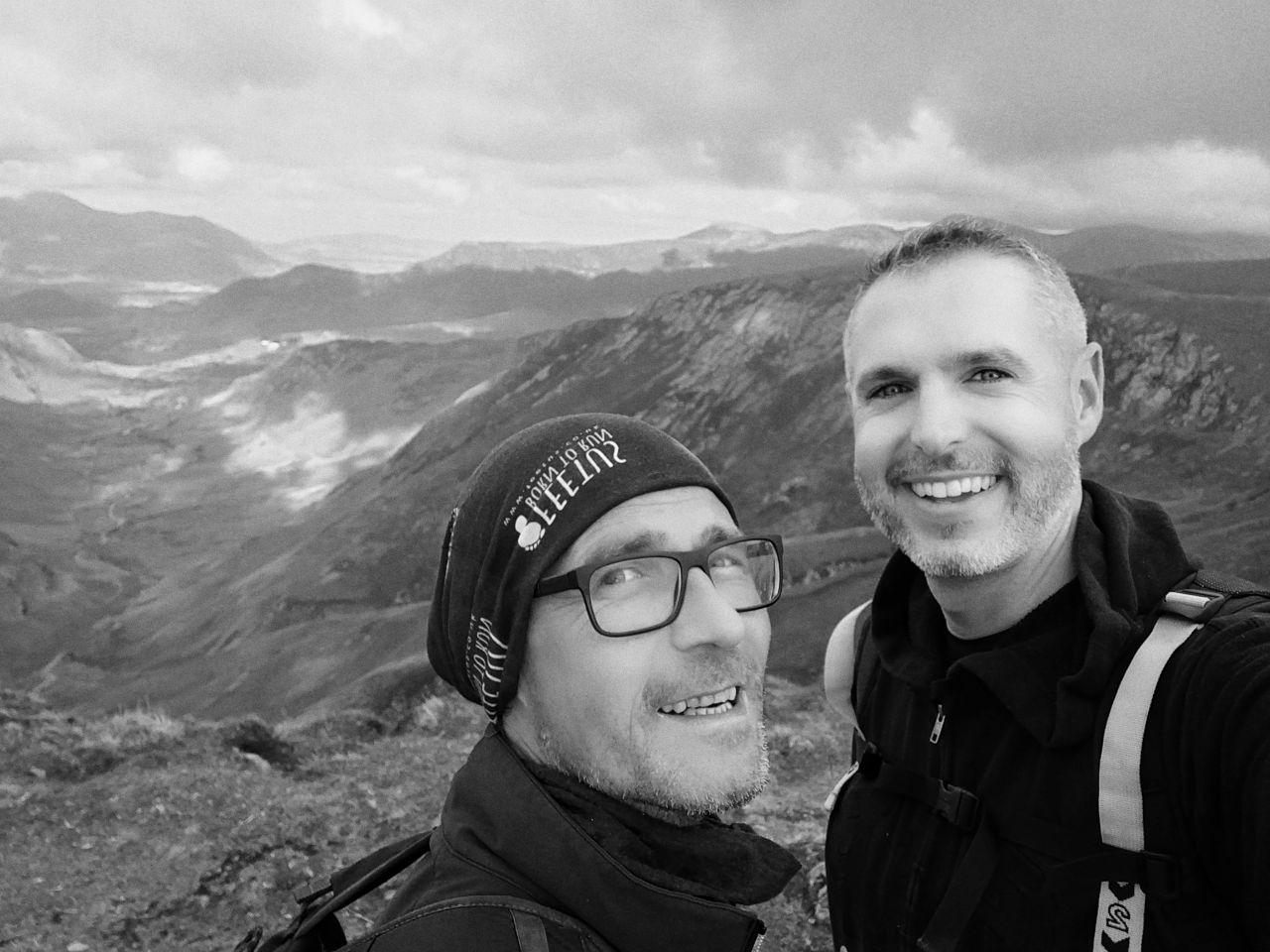
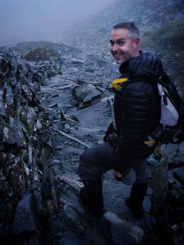
After QMDs 13 and 14, my friend (and TIDE podcast co-host) Dai Barnes offered to come with me on my next jaunt. As a result, we spent all day last Friday, and part of Saturday, walking in the Lake District.

Dai's feet

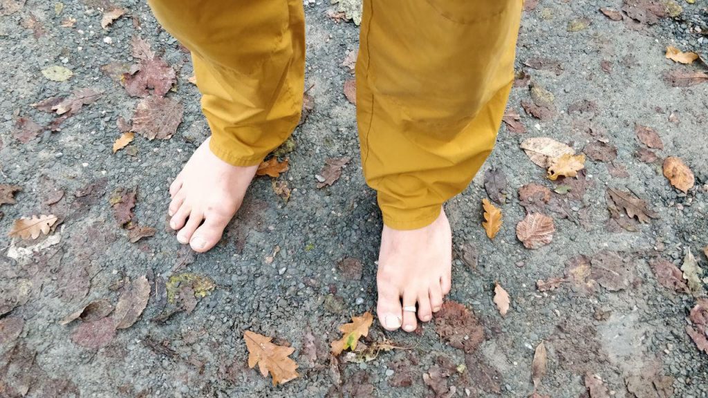
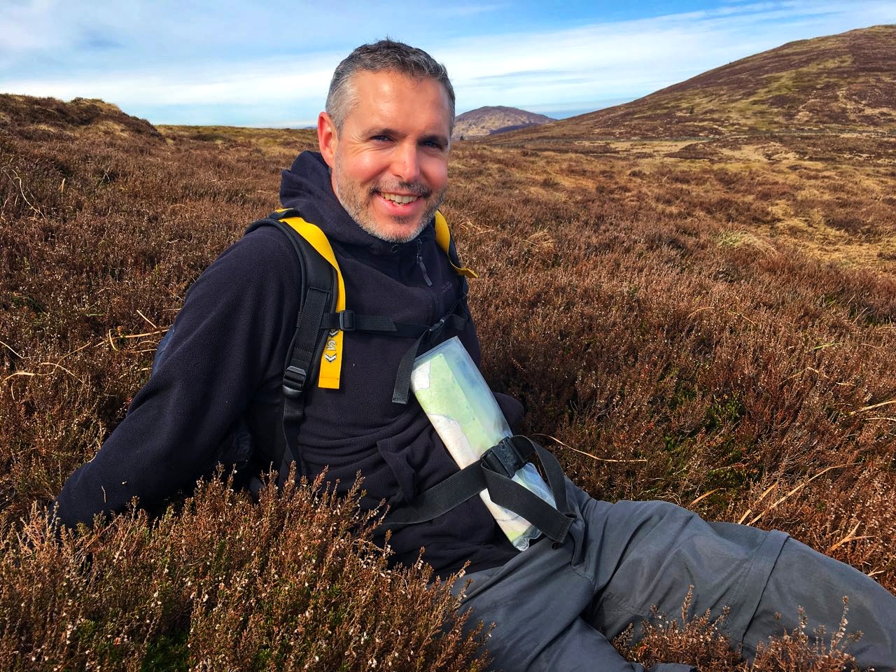
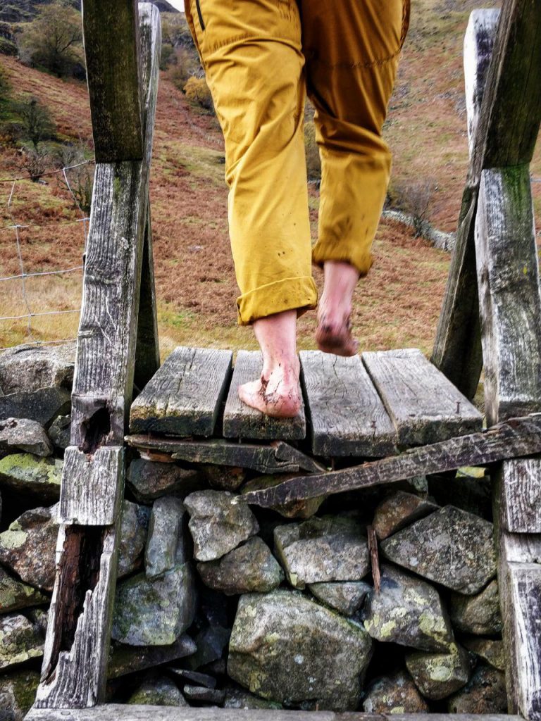
The thing you need to know about Dai is that he goes barefoot almost everywhere. So when I jokingly reminded him that he’d need some boots for our walking trip, he replied by saying that he’d tie some to his backpack, but was planning to go barefoot. 😲

Although Dai has helped out with students at his school doing The Duke of Edinburgh’s Award, he’s not a regular mountain walker. That’s good, because if he had been, the day wouldn’t have counted towards my QMDs.

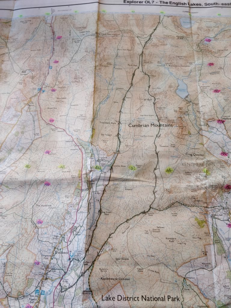
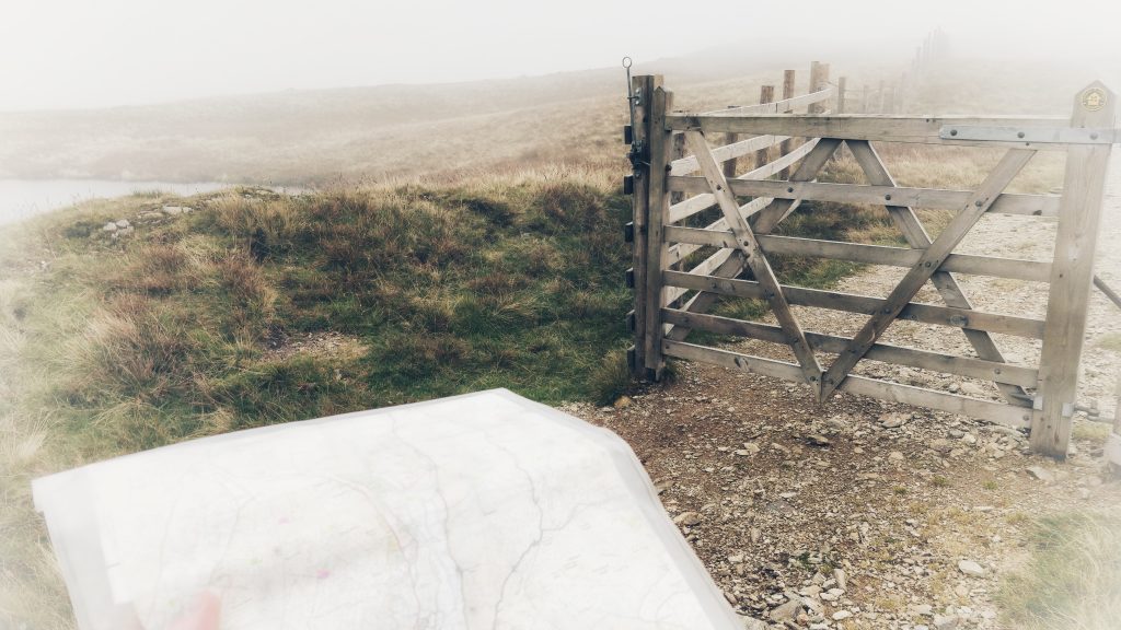
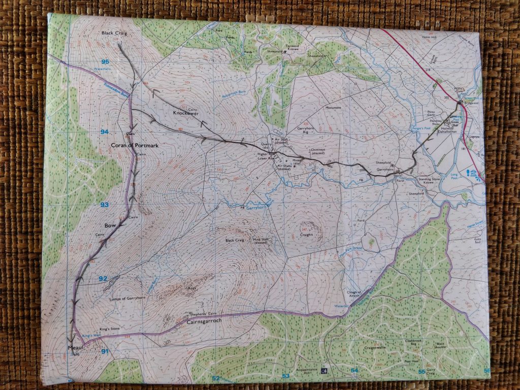
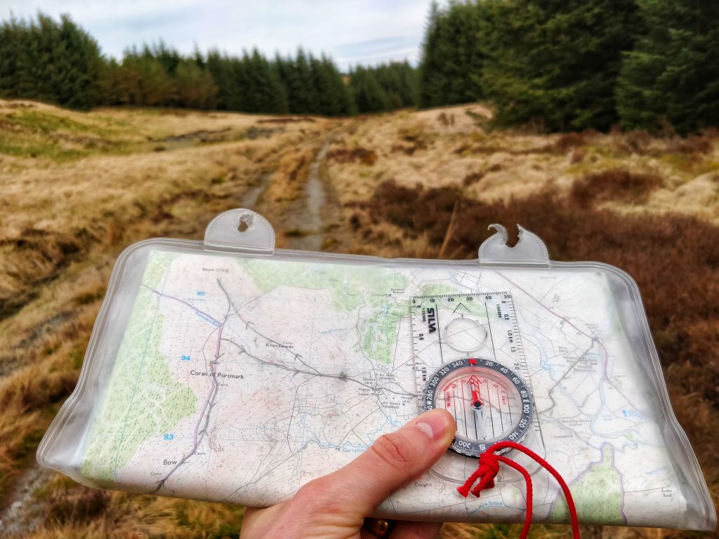
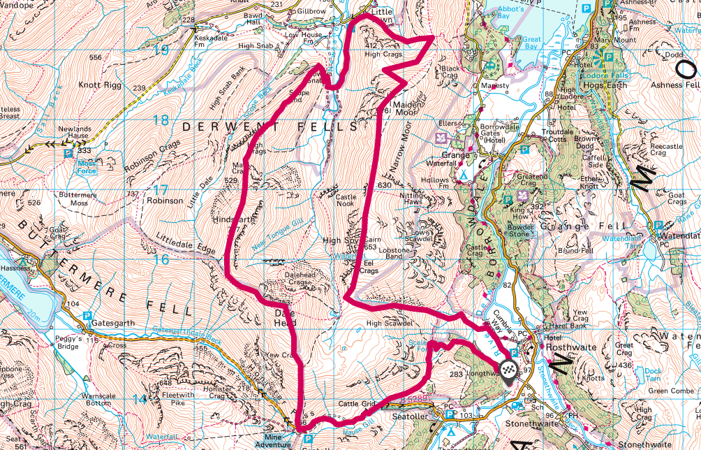
I sent him a map of the route I’d planned for our first day, and said that we could plan the second one over dinner afterwards. The map below is our 21.1km actual route, which took us around 8.5 hours — including plenty of stops for food and chat.

QMD 15 route

We actually recorded an episode of the TIDE podcast while walking, so if you’re interested, you can sample that here.

Dai going over a stileMeeting at 10:00, we set off from the car park Borrowdale YHA after I’d checked we had the right equipment. We started walking (and recording) but after about 30 minutes I realised we had taken the wrong path. I hadn’t really been paying enough attention!

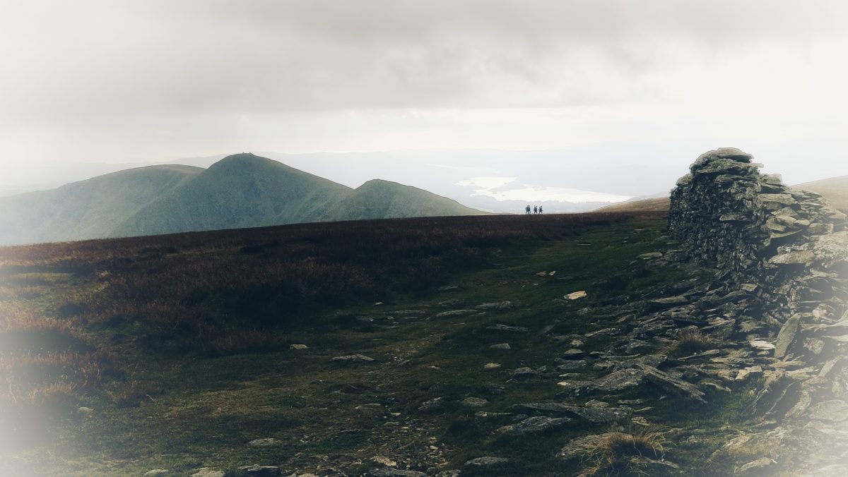
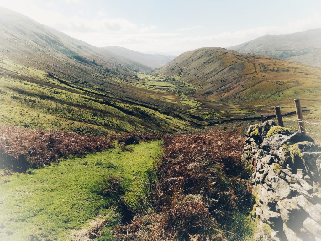
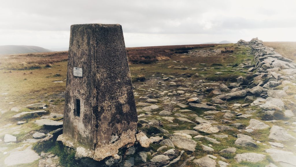
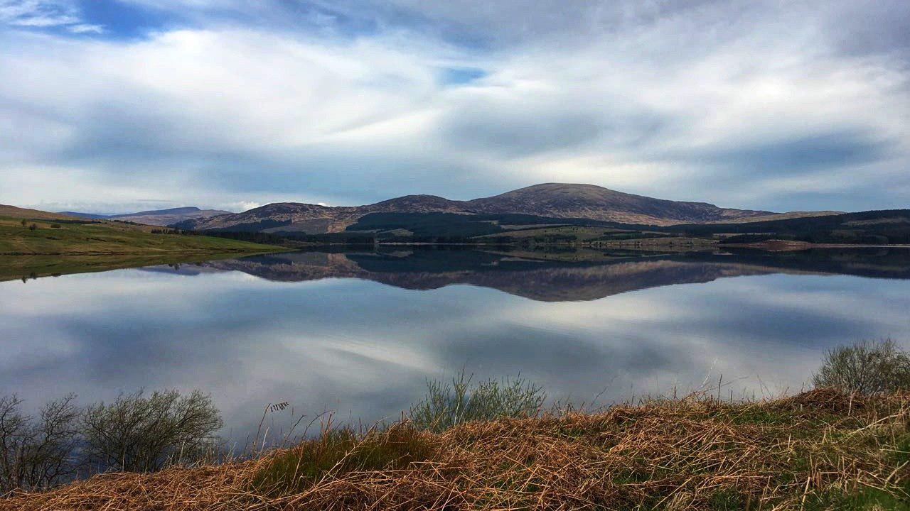
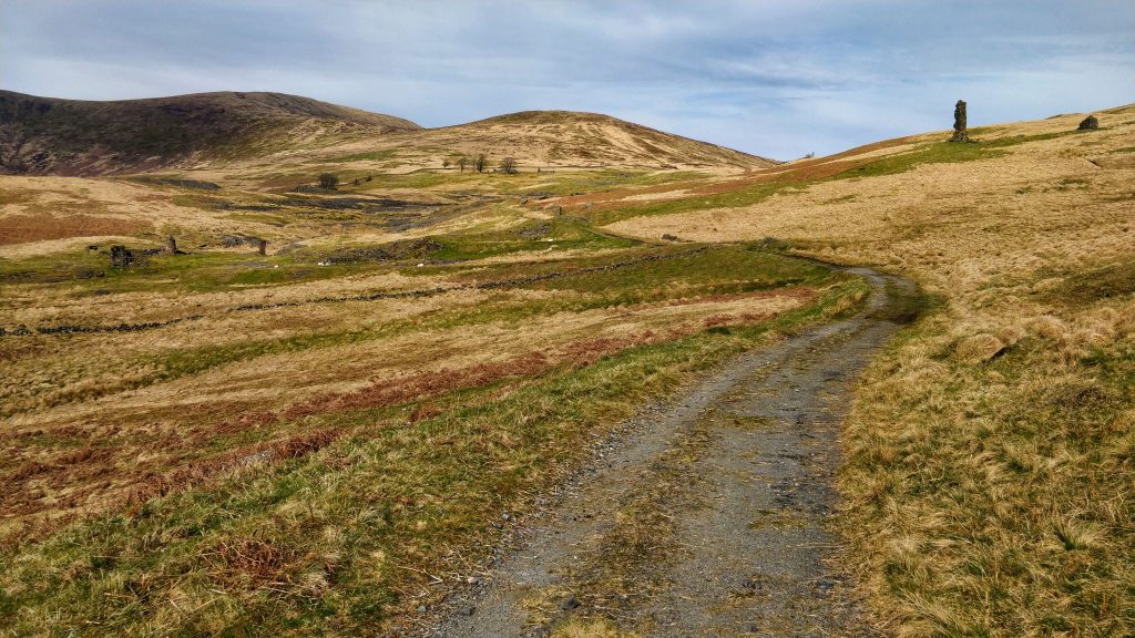
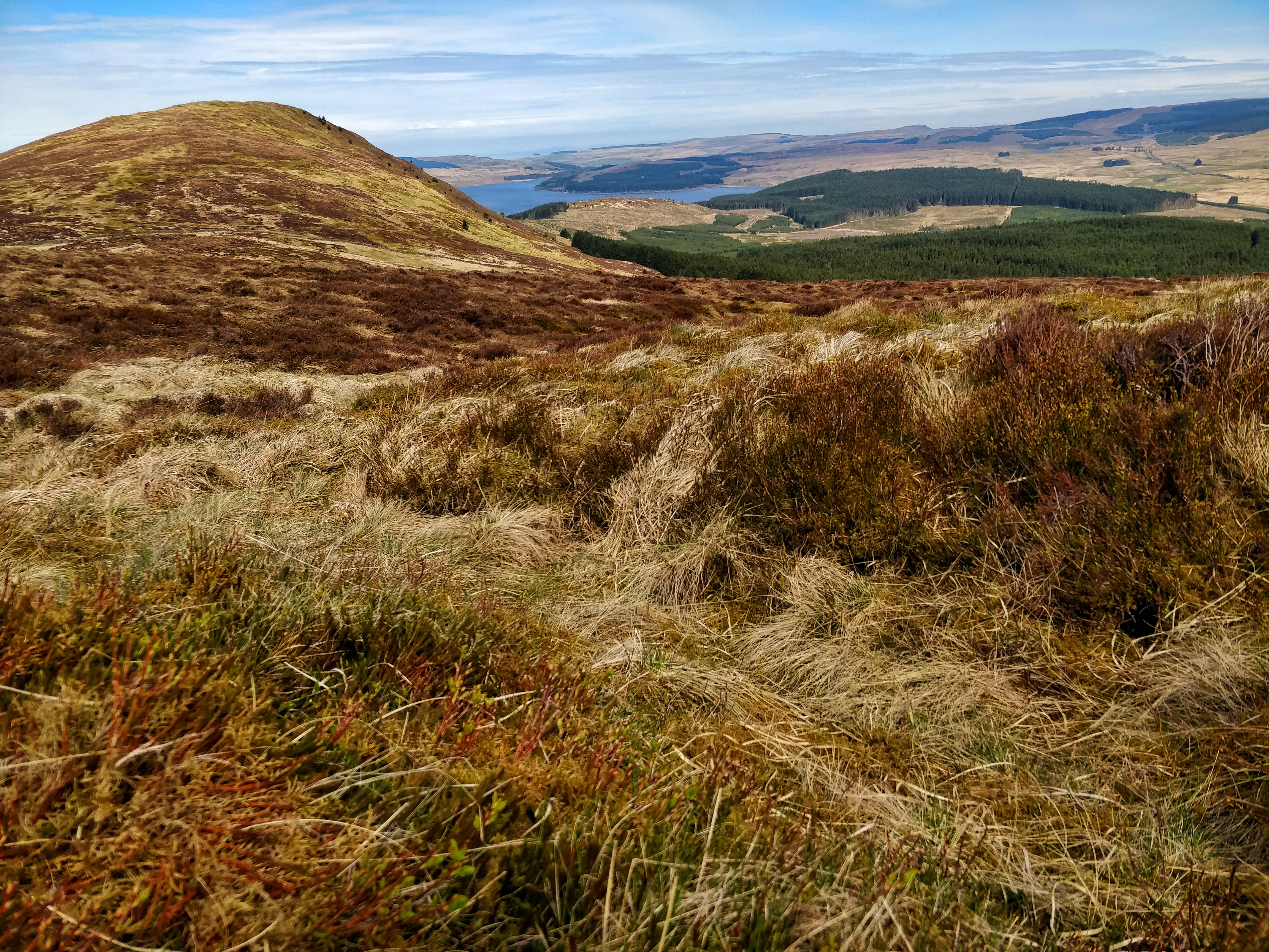
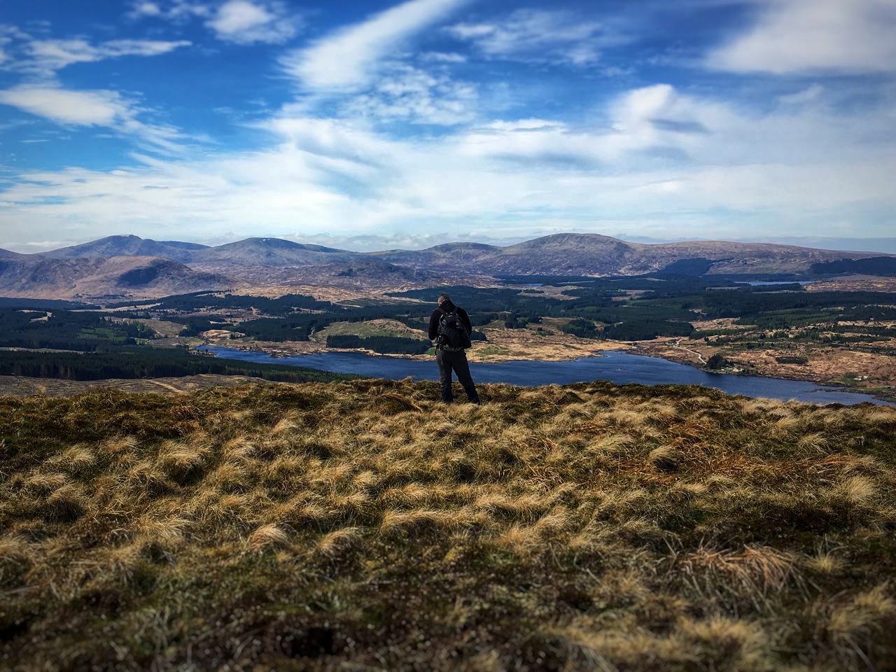
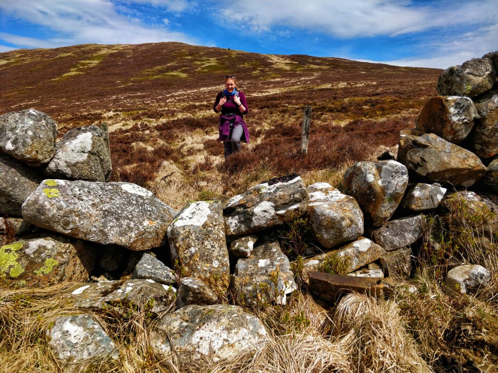
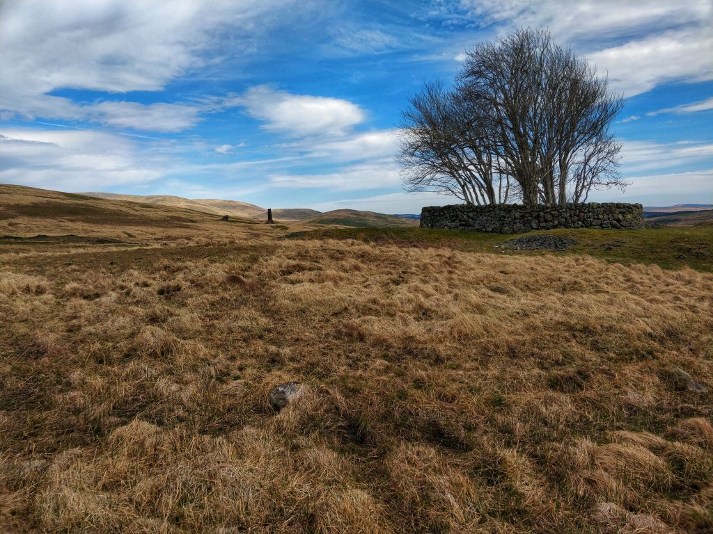
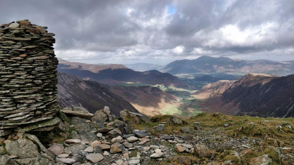
So we continued around and down towards Seatoller and Honister Hause. We agreed while we were down there that we’d go up towards Great Gable the next day. From Honister we ascended directly up towards Dale Head. That approach is probably the best for someone like Dai who hasn’t been up there before. It’s a magnificent view.

Dale Head

We had a great moment at the top, as Dai had brought his tiny but very powerful speaker up to play one of his stepson’s latest songs.

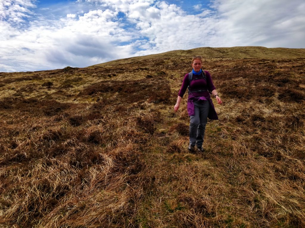
After something to eat, we walked along Hindscarth Edge and round to Hindscarth itself. We could see the clouds drawing in, which began to obscure our view of Dale Head. We came down via Scope End, which was zig-zaggy in places. All the more annoying as I’d forgotten my walking poles.

Heading across the river at the bottom of the valley, engrossed in conversation, we merrily kept walking into Little Town. Once we realised, we backtracked a little and went around High Crags. It was around 16:00 by this time, so we didn’t fancy going around Cat Bells and Brandelhow. Instead, we aimed for Black Crags.

Sheepfold shortcut

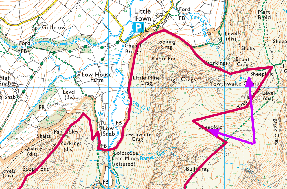
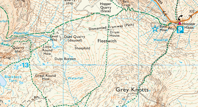
In an error that I refer to on the podcast as ‘sheepfold shortcut’, we got confused between where we were in relation to two sheepfolds (indicated by the purple arrows on the map above).

Doug descending through the disused quarryThat meant we didn’t have much choice but to make an extremely steep ascent up to get along and round to Bull Crag. It wasn’t much fun, but necessary given that it was late afternoon.

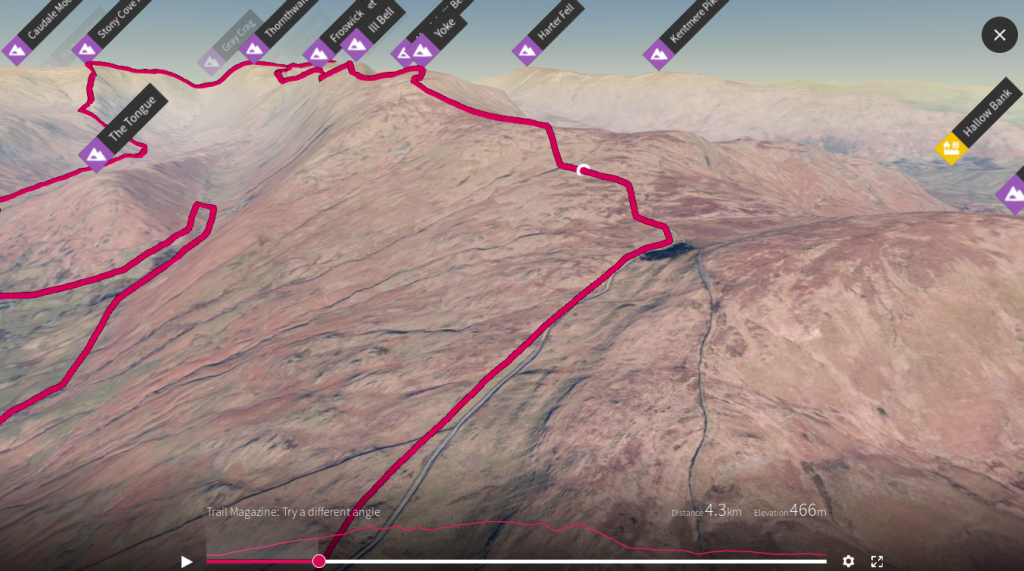
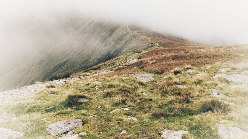
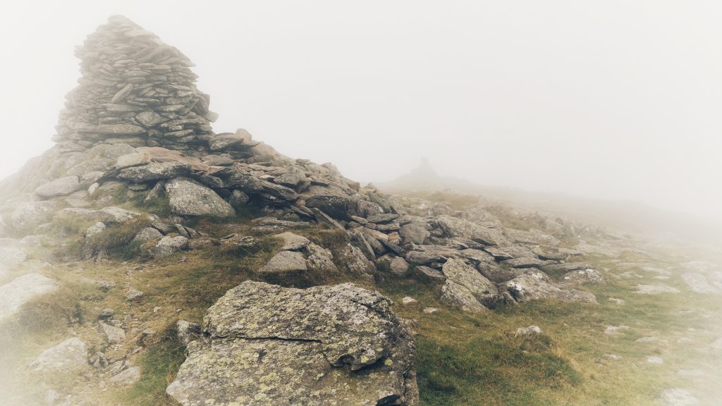
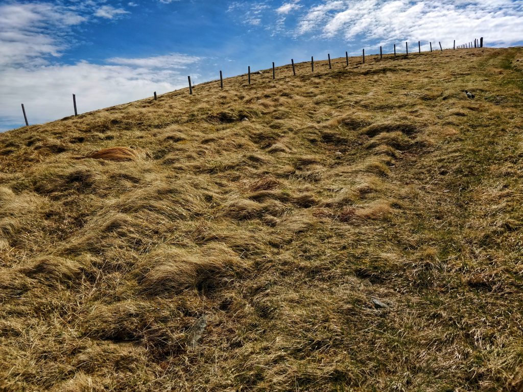
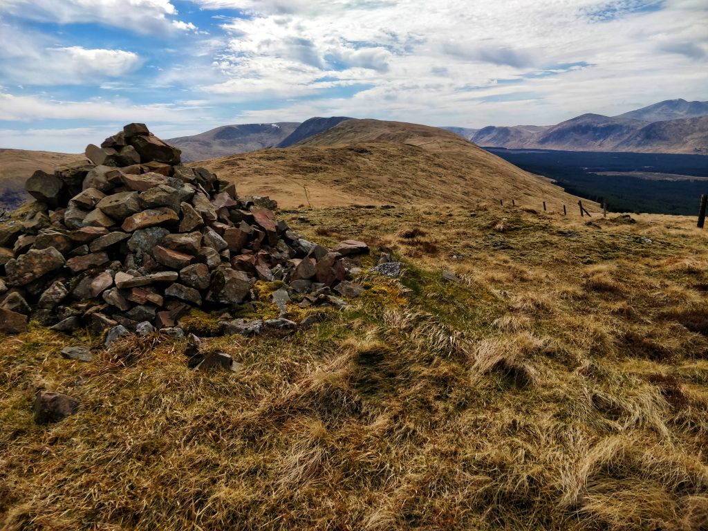
From there, we walked along Maiden Moor, Narrow Moor, and then arrived at a misty High Spy. Given that the light was beginning to fade, we attempted to get down Rigghead Quarries as quickly as possible. The fact that Dai did this barefoot quite frankly beggars belief.

By the time we got past the quarries it was dark enough to turn my head torch on. We walked the last section in single file along the river in pitch darkness, being careful where we placed our feet. Dai did put on some very thin sandals for this bit.

Map and pint

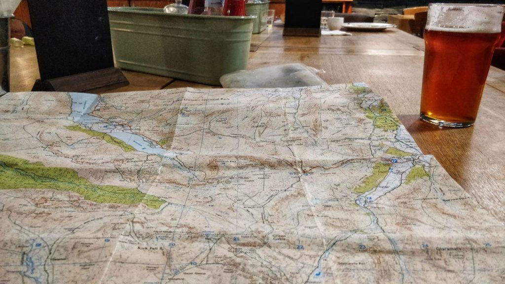
After a shower, a change of clothes, and a couple of very well-deserved pints, we plotted our route for the next day over dinner.

Things I learned:

  1. It’s easy to get carried away and not check your map when you’re having an interesting conversation.
  2. Just because something looks like a path, doesn’t mean it is.
  3. Double-check your equipment before leaving the house, and consider having a list (so I don’t forget my poles!)

After a decent night’s sleep and a good breakfast on Saturday morning, we drove over to Honister Hause and started walking a circular route towards Great Gable. However, the wind and the rain was so bad that I had to put on full waterproofs and we sheltered for a while in a bothy near Dubs Quarry.

Honister Hause

We started descending, realising we would then have to go up again. So, after three hours, soaking wet, and with plenty of the route left to walk, we decided to call it a day. We’d had such a great time the day before, that spoiling our trip by trudging through inclement conditions on Saturday seemed a bit pointless.

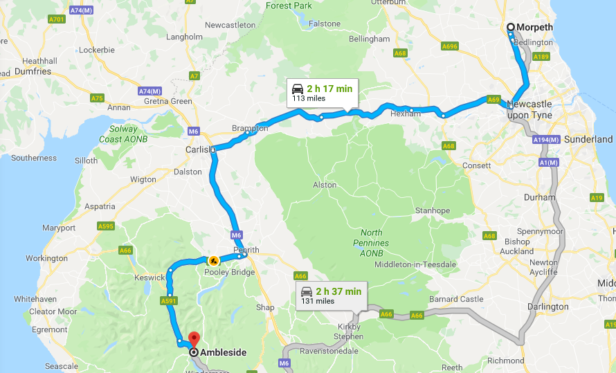
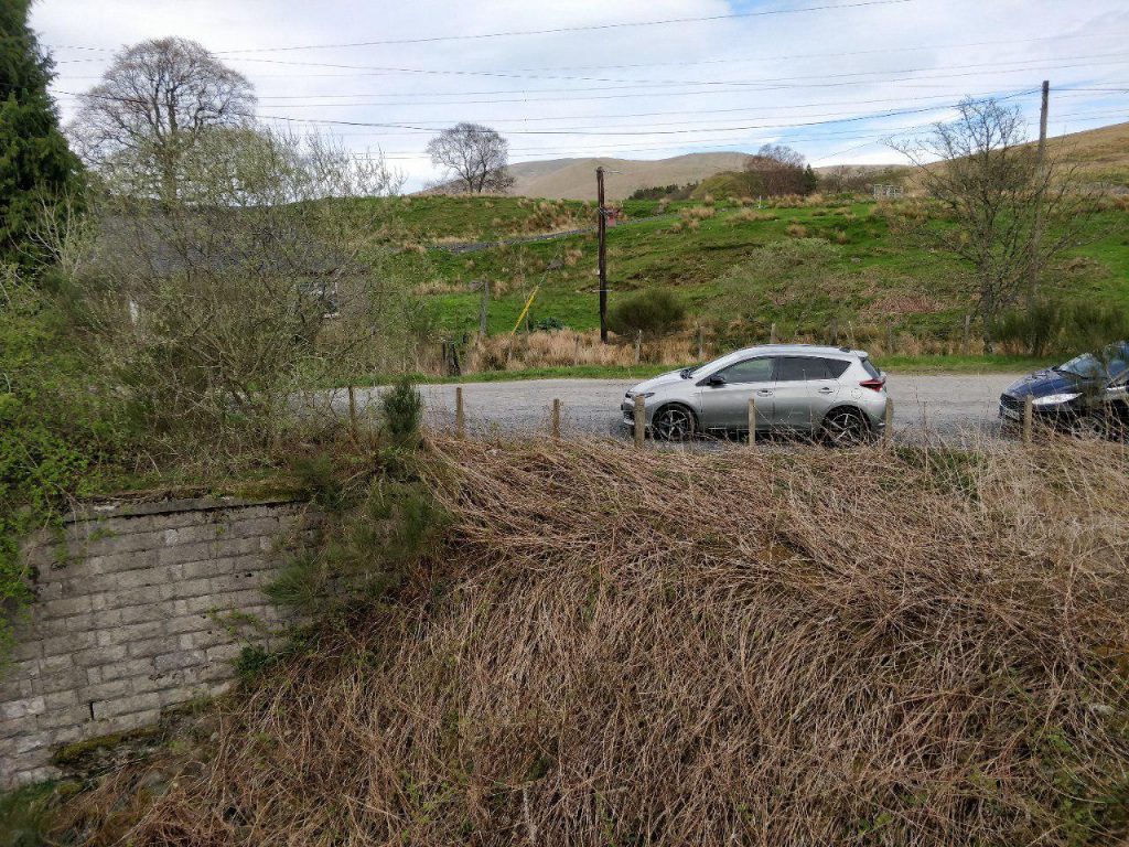
So, after getting back to our cars, getting changed, and saying our goodbyes, we headed back home — Dai back down to Oundle, near Peterborough, and me back to Morpeth, Northumberland.


Thanks to Dai for some of the photos featured in this post!

Quality Mountain Day 13: Park Fell, High Street, and Ill Bell (Lake District)

I’m still attempting to get in the twenty Quality Mountain Days (QMDs) I need before I can book myself on a a Mountain Leader course. I contracted to work four days per week for Moodle. As I worked five last week, I took the opportunity to work three this week and sneak over to the Lake District this Thursday and Friday.

QMD13-14-getting-there

I’ll get my excuses in now: I developed a bit of a cold the day before I went, my right knee felt a bit weak, and the Mountain Weather Information Service was forecasting winds of 35-50mph on the peaks in the Lake District. That’s why, instead of plotting my own route for QMD 13, I chose one of the ‘premium’ routes provided to Ordnance Survey Maps subscribers (like me!)

QMD 13
In the event, I modified the 24km route a bit. It ended up being the same length but, of course, the bit I changed as a ‘shortcut’ ended up being the hardest part!

QMD 13 - map

It was easy going at first. I parked at Low Fold, and walked down to Church Bridge, along through Limefitt Holiday Park, and along the valley towards The Tongue. I had nipped up the hill quickly to see if I could see the cairns supposedly on my left (I couldn’t) and stopped for a coffee.

QMD 13 - Troutbeck Park

As I sipped my less-than-stellar brew, I looked up and realised what my ‘shortcut’ entailed: a steep ascent up Park Fell. I girded myself and plodded up it, stopping occasionally to, ahem, ‘admire the view’.

QMD 13 - Thornthwaite Crag

I continued on to Thornthwaite Crag in the glorious sunshine and more to eat and drink. There were quite a few other walkers out and my walking poles made this shallower ascent much easier. The next bit was just a saunter around the corner to the top of Racecourse Hill. Annoyingly, it was just off the edge of my paper OS map, but I’d seen on the online version that it wasn’t much further.

QMD 13 - mist

As I started back from Racecourse Hill, the weather started to turn. I could see it coming in from a distance, so I had to decide whether to continue with my planned route or whether to modify it. I decided to keep going as modifying would mean either walking further or a steep descent.

QMD 13 - Ill Bell

By the time I got past High Street and on to Froswick, I couldn’t see the top of the next summit, Ill Bell. In fact, as I got to the incline to start the ascent up Ill Bell, the girl who was walking in front of me abruptly turned round and decided to go back. I, however, decided to power up it. It’s not often I put on music when I’m walking, but I needed some motivation. Getting to the top felt like an achievement.

QMD 13 - gate and map

From there, walking over to the Yoke, and then down to Garburn Nook was straightforward. I was tempted by what looked like a shortcut down to Limefitt Holiday Park, but when I got there saw that there was a lot of bracken. I’ve been seduced by that option before, and it didn’t turn out well. I kept going.

Six hours and 23.63km later, I arrived back at my car. It wasn’t the hardest walk in the world, given that I stuck to the paths, but I had to make decisions along the way and deal with changing weather conditions. So I reckon that counts as a QMD!

Things I learned:

  1. Think carefully about ‘shortcuts’ before taking them.
  2. Sometimes it’s OK to stick to the paths.

Quality Mountain Day 12: Black Craig, Knockower, and Coran of Portmark (Galloway Hills, Scotland)

This was my second Quality Mountain Day of this most recent Bank Holiday weekend. I’m doing them to get on a Mountain Leader course and you can read about the previous day in this blog post. Thanks to Hannah Belshaw for some of the photos!


My wife and I had been up Merrick the previous day. The way down had been interesting, mainly because I’d just taken the quickest route, whether or not it was actually a good idea.

With this route, we wanted to make sure we were on the correct side of the Galloway Hills so that we could get home in good time for our children. I planned the route with Hannah, my wife, but decided we’d have to play it by ear a bit depending on the terrain.


The Mountain Weather Service report said that the Galloway Hills on 7th May 2018 would be sunny and warm, with very little wind. Here’s a PDF of the report.

It was a straightforward walk up past some standing stones and a farm. I’d wanted to go and explore them, but there were lambs in the field so I thought it best not to disturb them.

Further on, some of the rams had very curly horns.


The route took us up past a disused lead mine. Some of the smelting chimneys were still standing. The air shafts were well marked and fenced-off.


After looking around the abandoned buildings (apparently there were 50 dwellings here at one point) we set off, but on the wrong track. I realised when we started entering the trees, and turned around.


However, instead of going all the way back to the path, I decided that we’d go along by the fence and then join the train. That meant we had to traverse lots of grass hummocks, which was hard going. In fact, this was the least steep of the hills but the most difficult walking.

Eventually we found a track up Knockower (511m) and followed that.


We got near the top and stopped for some coffee. It was at this point we made a decision to only go up Black Craig.


We headed down Knockower and towards Black Craig. This part involved tramping over heather, which was difficult for Hannah’s knee (which was already hurting a bit).

I suggested that on the way back down we use the stone wall as a ‘rail’ and head down into the forest.

The top of Black Craig (528m) was beautiful with magnificent views over Loch Doon. As we ate lunch, Hannah saw a track up Coran of Portmark and suggested we go up it. I agreed.

We trudged down Black Craig through boggy heather. Hannah spotted a moth, and we saw a lot of bees.


Crossing a wall and stream, we started our ascent of Coran of Portmark (which is an odd name for a mountain).


We walked at a steady pace near to the fence. It was straightforward but reasonably steep.


We made it to the top of Coran of Portmark (623m) and then looked for a track back down.


By this point, I’d realised that my watch had stopped tracking our route, which was annoying. Nevertheless, we just wanted to get back to the car and home.


We headed back past the disused lead mine. I wanted to investigate the air shafts, but Hannah stayed well clear.

We made it back to the car. My watch had stopped recording walk after about 5km but we did around 17km in about 5.5 hours.

Car

Things I learned:

  1. The second day is always harder than the first, especially for less experienced walkers.
  2. I shouldn’t just rely on one method of tracking my route.
  3. The terrain can make the difference between an enjoyable walk and a tough one.
css.php