Open Thinkering

Menu

Tag: Galloway Hills

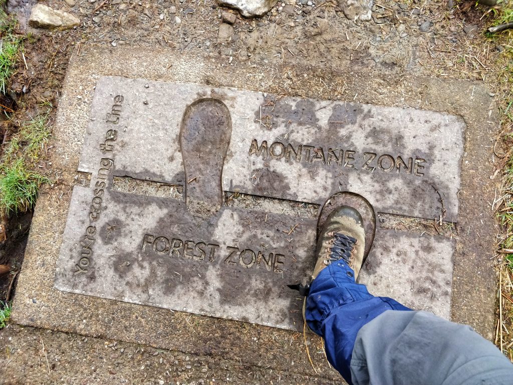
Quality Mountain Day 12: Black Craig, Knockower, and Coran of Portmark (Galloway Hills, Scotland)

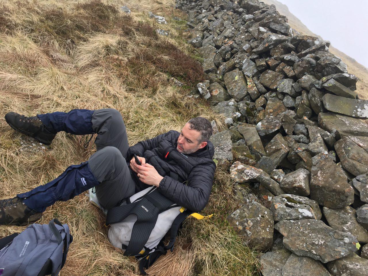
This was my second Quality Mountain Day of this most recent Bank Holiday weekend. I’m doing them to get on a Mountain Leader course and you can read about the previous day in this blog post. Thanks to Hannah Belshaw for some of the photos!


My wife and I had been up Merrick the previous day. The way down had been interesting, mainly because I’d just taken the quickest route, whether or not it was actually a good idea.

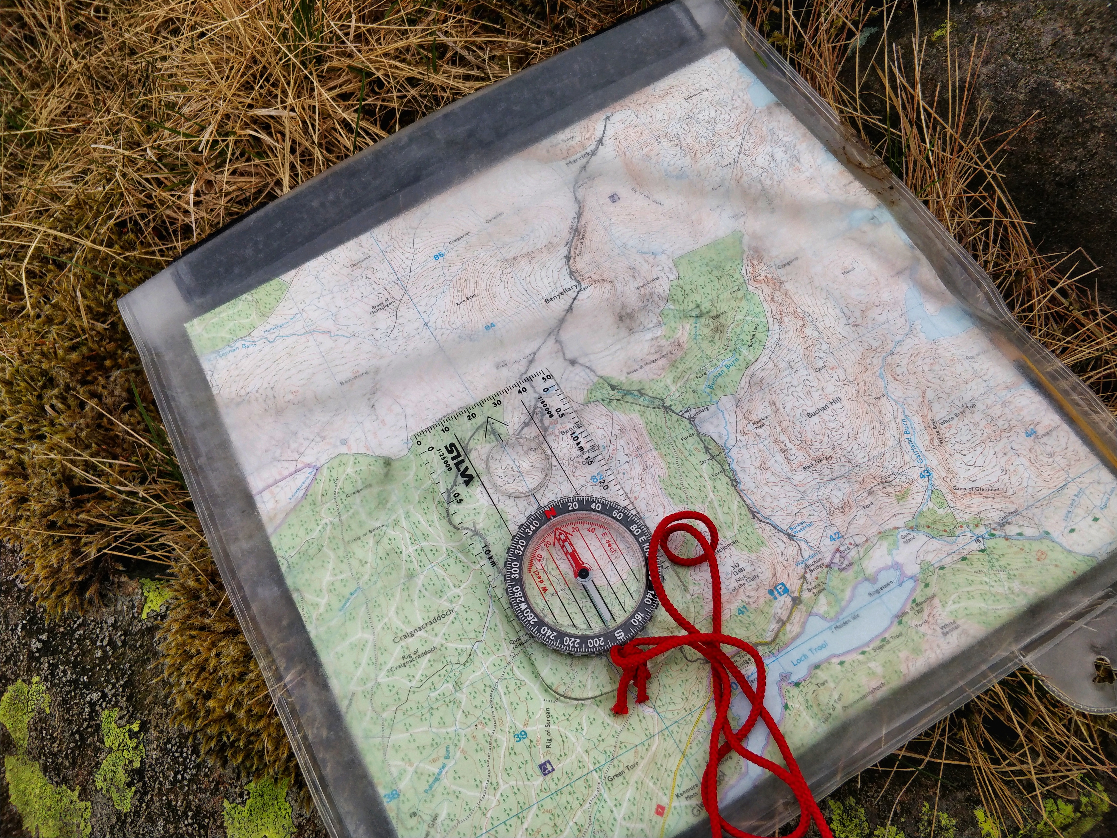
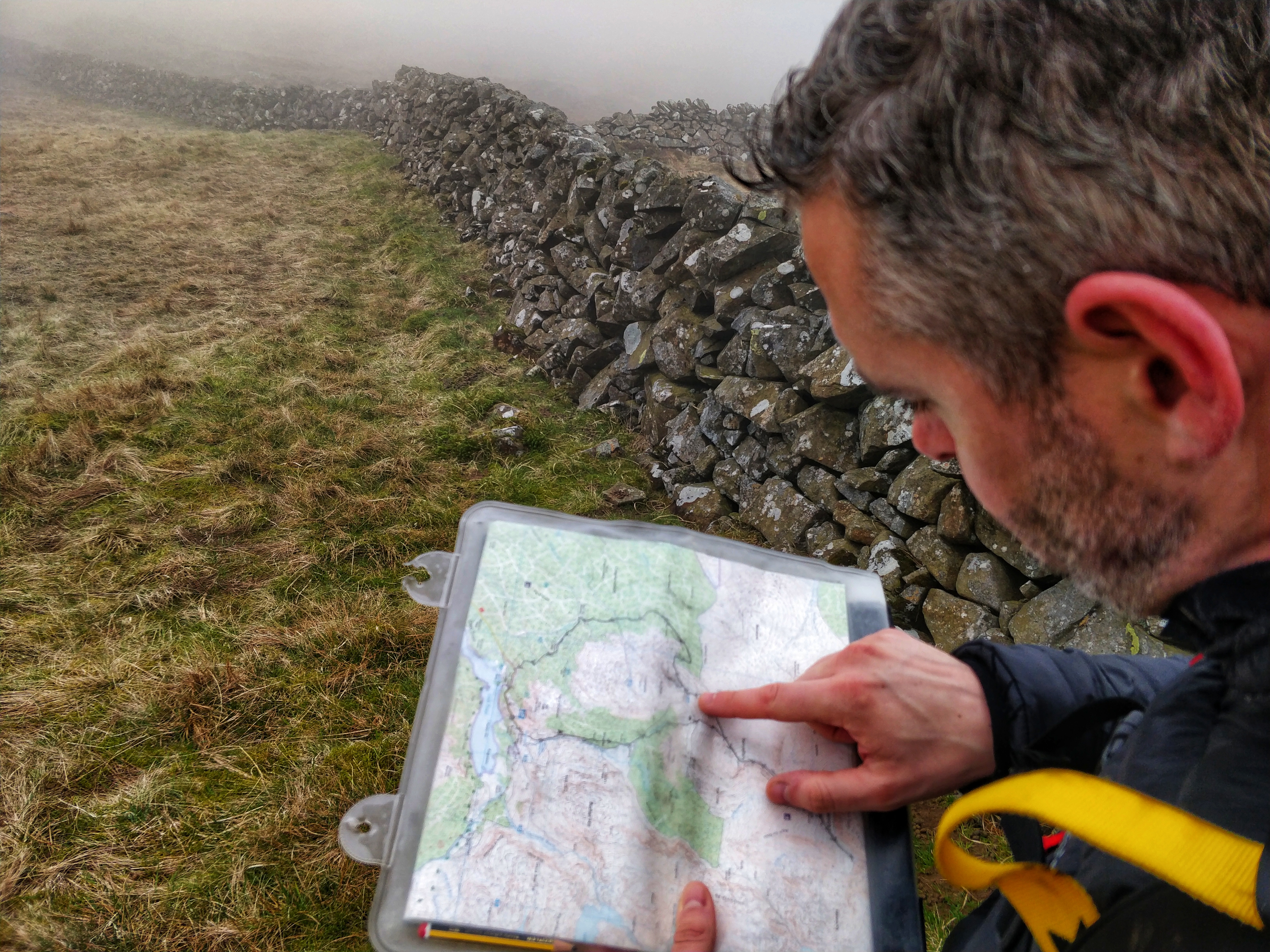
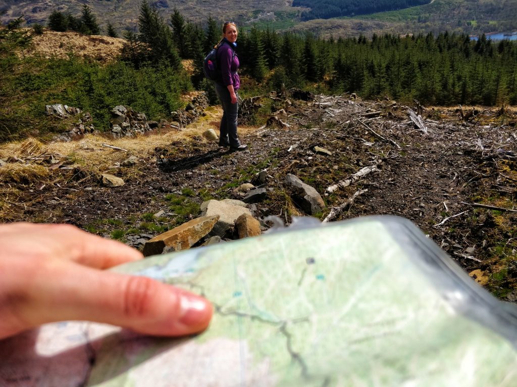
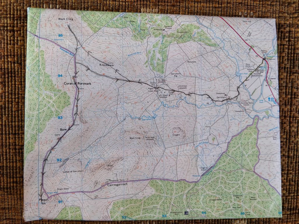
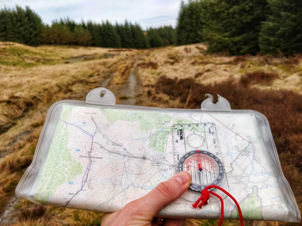
With this route, we wanted to make sure we were on the correct side of the Galloway Hills so that we could get home in good time for our children. I planned the route with Hannah, my wife, but decided we’d have to play it by ear a bit depending on the terrain.


The Mountain Weather Service report said that the Galloway Hills on 7th May 2018 would be sunny and warm, with very little wind. Here’s a PDF of the report.

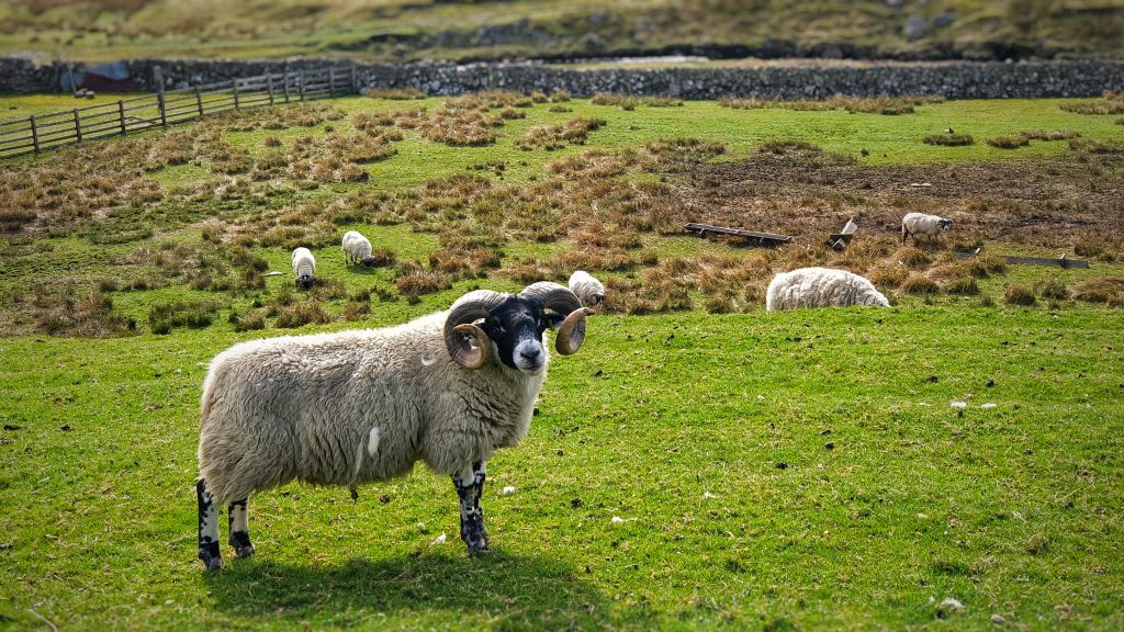
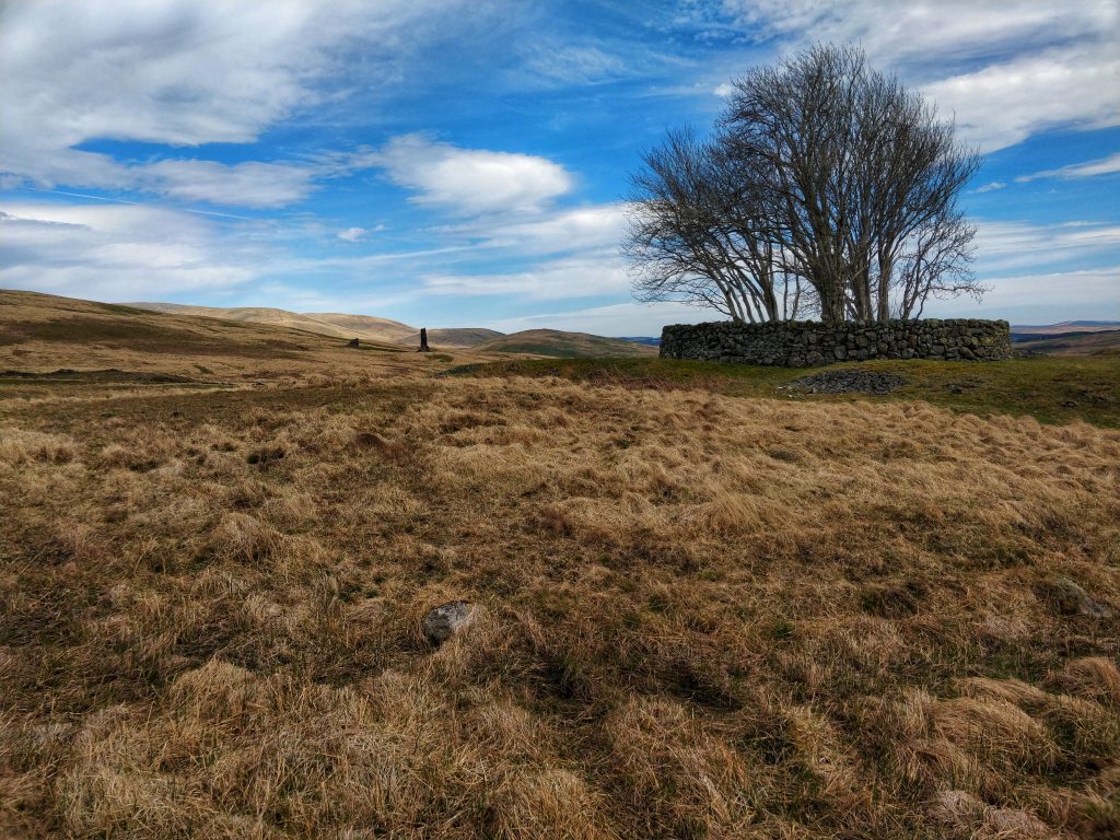
It was a straightforward walk up past some standing stones and a farm. I’d wanted to go and explore them, but there were lambs in the field so I thought it best not to disturb them.

Further on, some of the rams had very curly horns.


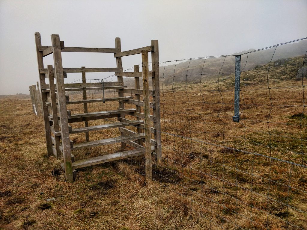
The route took us up past a disused lead mine. Some of the smelting chimneys were still standing. The air shafts were well marked and fenced-off.


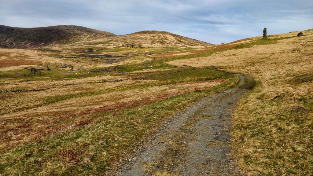
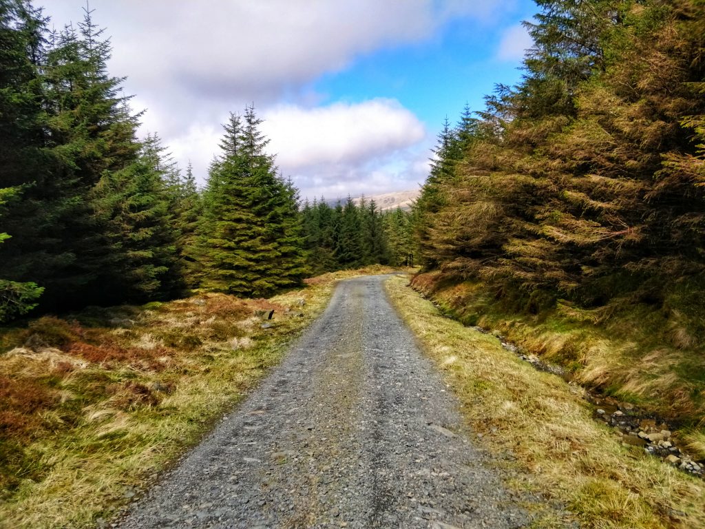
After looking around the abandoned buildings (apparently there were 50 dwellings here at one point) we set off, but on the wrong track. I realised when we started entering the trees, and turned around.


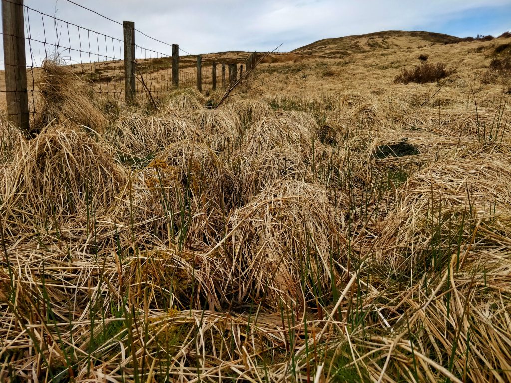
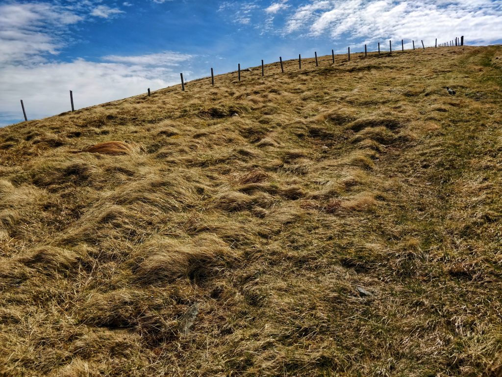
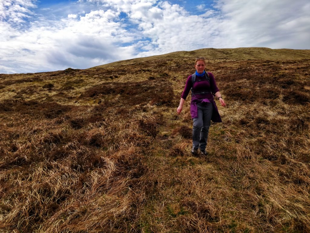
However, instead of going all the way back to the path, I decided that we’d go along by the fence and then join the train. That meant we had to traverse lots of grass hummocks, which was hard going. In fact, this was the least steep of the hills but the most difficult walking.

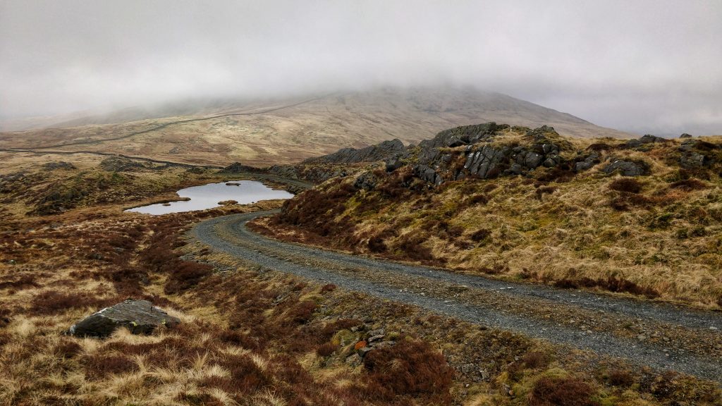
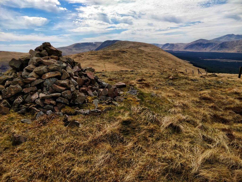
Eventually we found a track up Knockower (511m) and followed that.


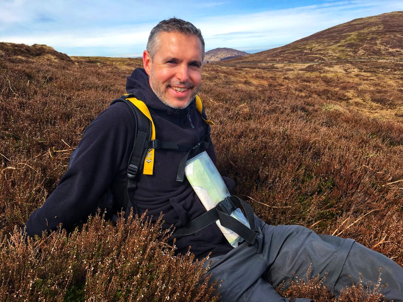
We got near the top and stopped for some coffee. It was at this point we made a decision to only go up Black Craig.


We headed down Knockower and towards Black Craig. This part involved tramping over heather, which was difficult for Hannah’s knee (which was already hurting a bit).

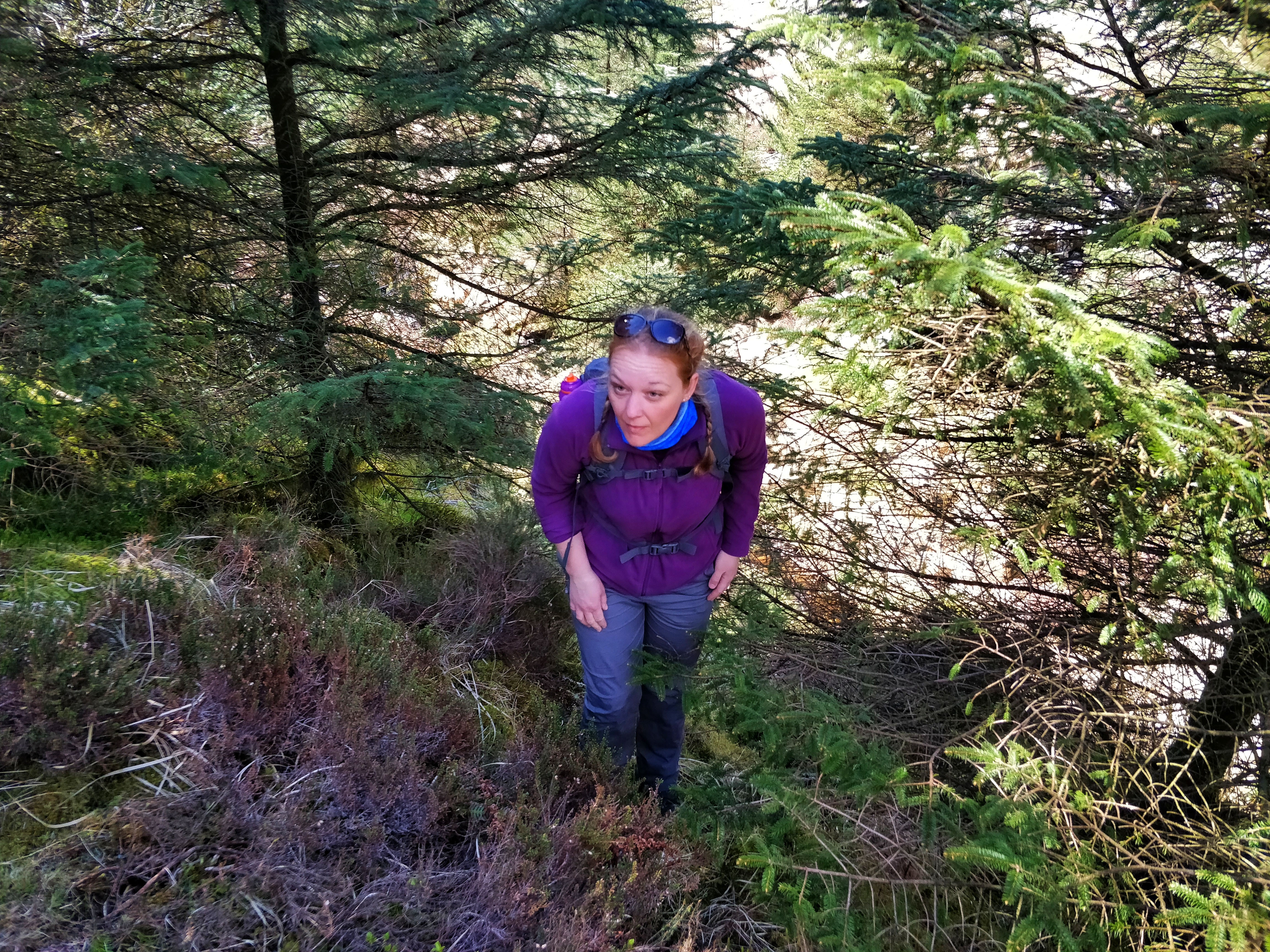
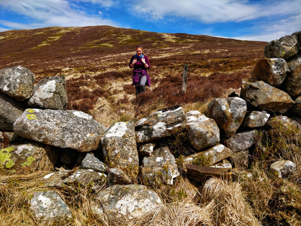
I suggested that on the way back down we use the stone wall as a ‘rail’ and head down into the forest.

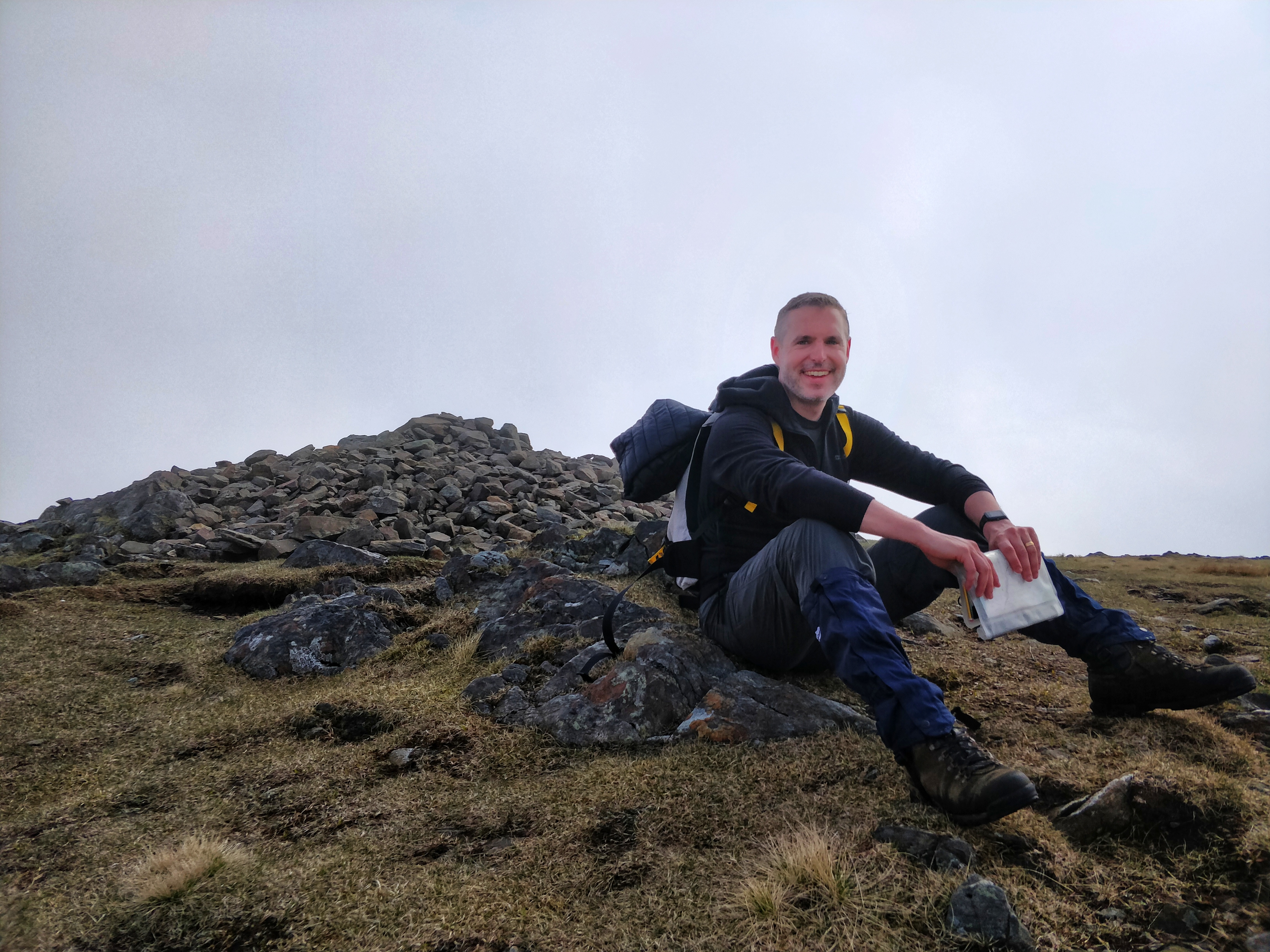
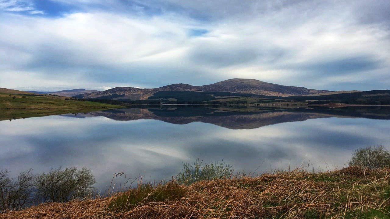
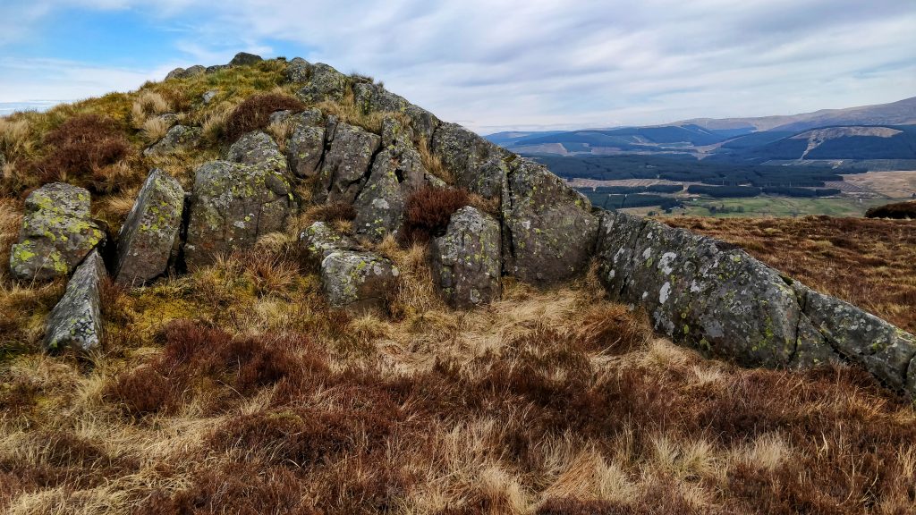
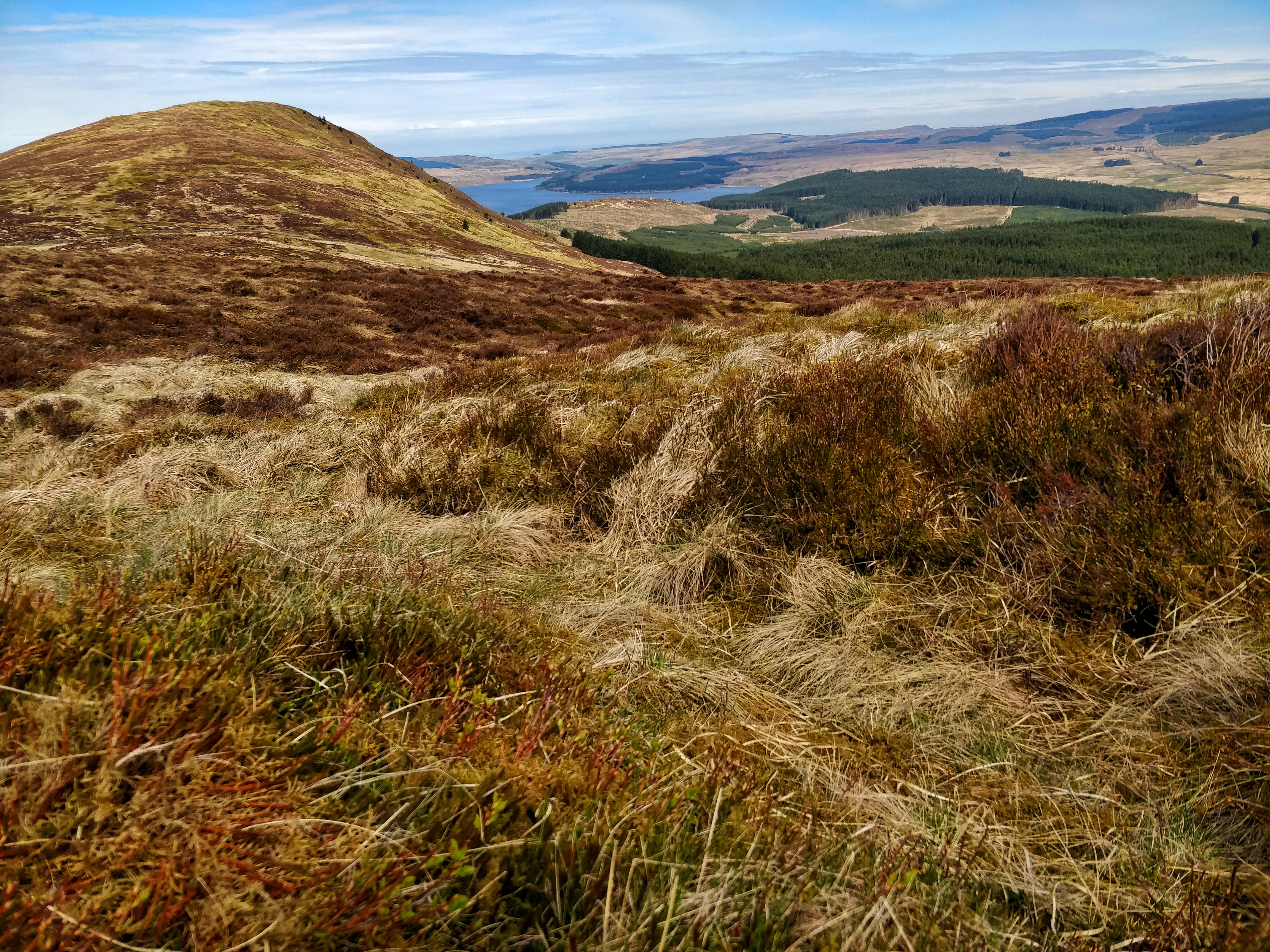
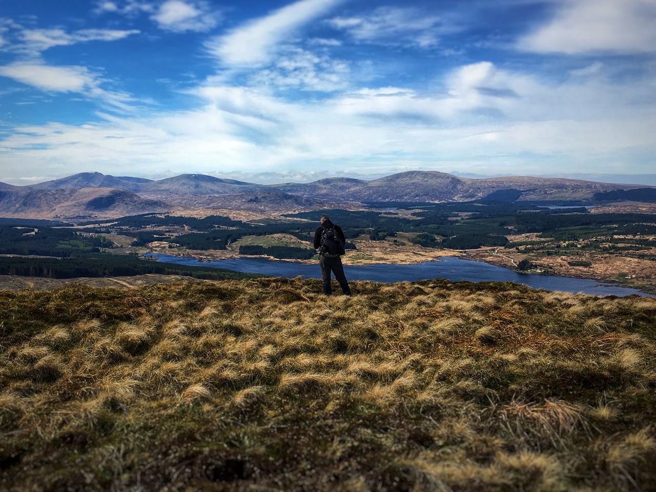
The top of Black Craig (528m) was beautiful with magnificent views over Loch Doon. As we ate lunch, Hannah saw a track up Coran of Portmark and suggested we go up it. I agreed.

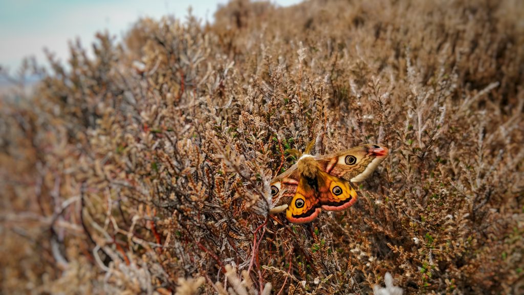
We trudged down Black Craig through boggy heather. Hannah spotted a moth, and we saw a lot of bees.


Crossing a wall and stream, we started our ascent of Coran of Portmark (which is an odd name for a mountain).


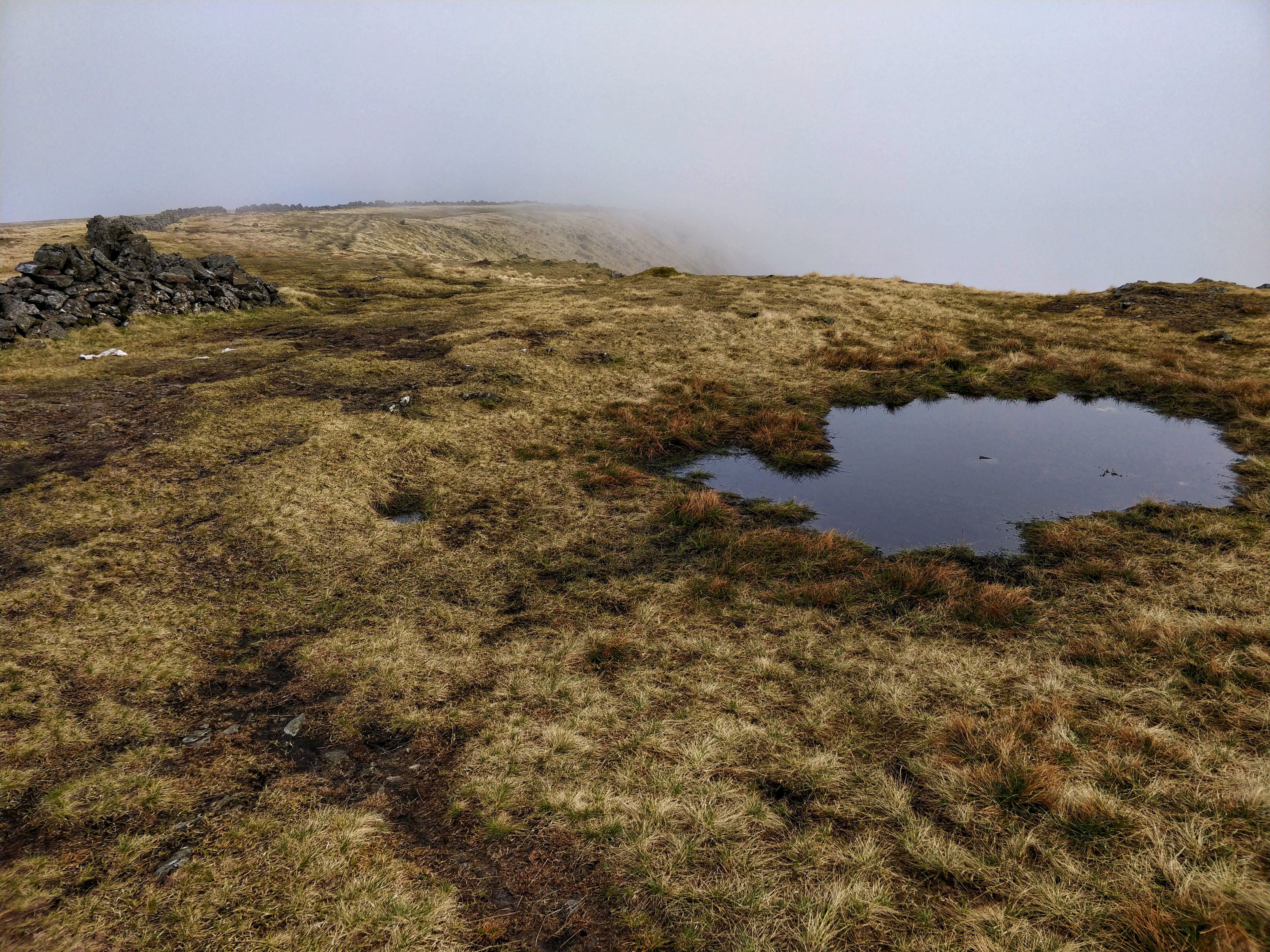
We walked at a steady pace near to the fence. It was straightforward but reasonably steep.


We made it to the top of Coran of Portmark (623m) and then looked for a track back down.


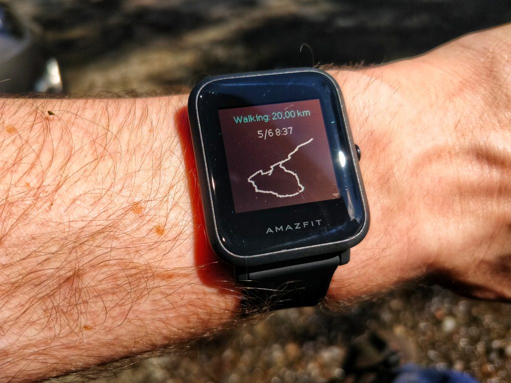
By this point, I’d realised that my watch had stopped tracking our route, which was annoying. Nevertheless, we just wanted to get back to the car and home.


We headed back past the disused lead mine. I wanted to investigate the air shafts, but Hannah stayed well clear.

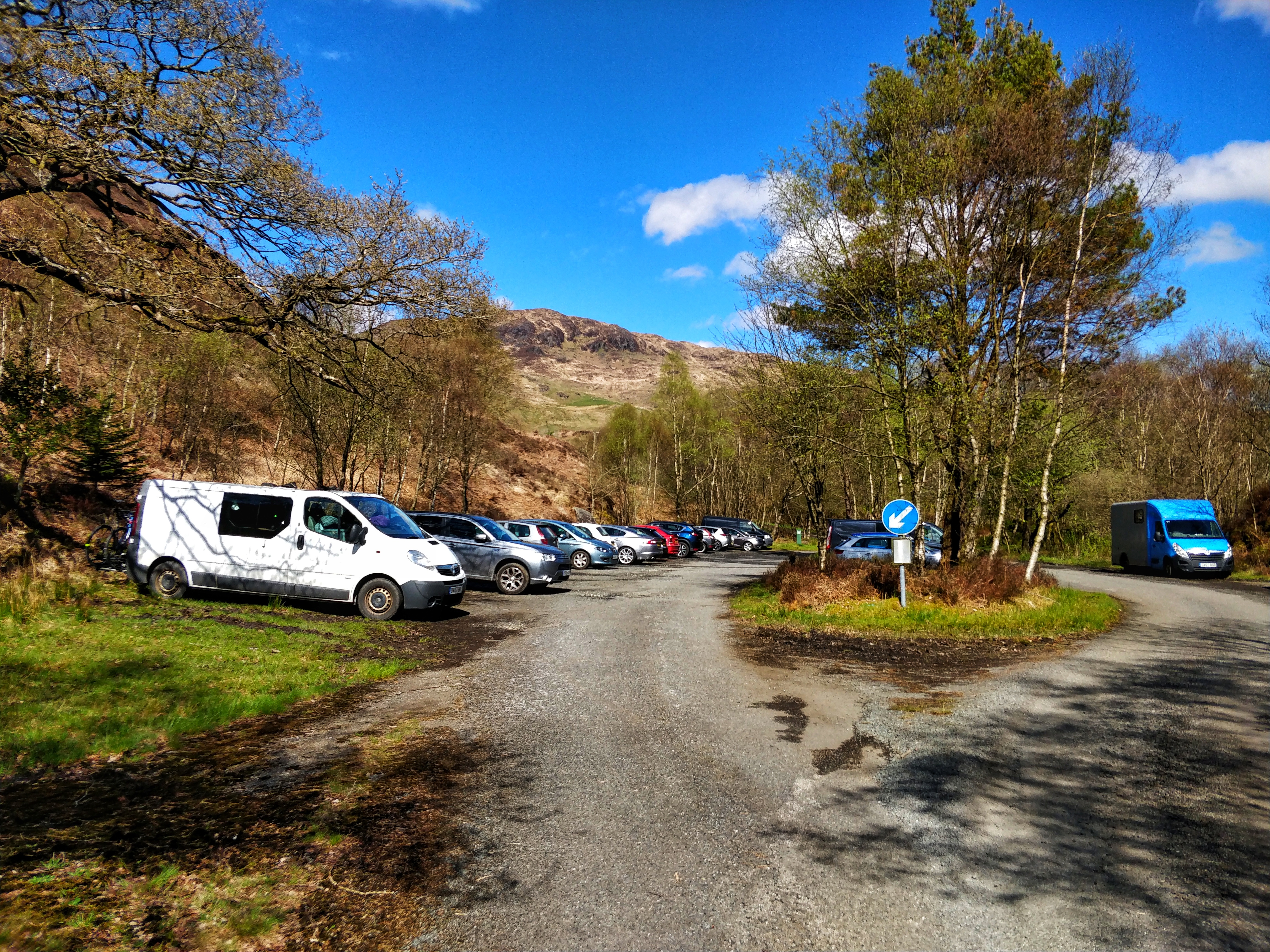
We made it back to the car. My watch had stopped recording walk after about 5km but we did around 17km in about 5.5 hours.

Car

Things I learned:

  1. The second day is always harder than the first, especially for less experienced walkers.
  2. I shouldn’t just rely on one method of tracking my route.
  3. The terrain can make the difference between an enjoyable walk and a tough one.

Quality Mountain Day 11: Merrick (Galloway Hills, Scotland)

It’s been almost a year since I’ve been able to get away to log more of the Quality Mountain Days I need to eventually get on a Mountain Leader course. This time, I went to the Galloway Hills over the Bank Holiday weekend, and I didn’t go alone. I’m going to write each day up separately, as I took quite a few photos!

Route to Galloway Hills

Before we set off, and while I was still at home, I planned the route for the first day and had a rough idea of what we would do on the second. I used a paper map (Galloway Forest Park North, OS Explorer Map 318) and the OS Maps app (I’m a premium subscriber). Hannah, my wife, came with me.

Merrick route

I find that the OS Maps app underestimates the distance and time it actually takes to do walks I plan. In the event, we walked 20km and it took 6.5 hours.

I downloaded a PDF (see here) of the Mountain Weather Service forecast for the Galloway Hills. It said it that the cloud base would be low, but summits should be clear by midday.

We set off at 08:39 so we expected to walk through the mist until we reached the summit.

The route towards Merrick was well-signposted, with the only challenge being poor visibility. The wind was very light.

There were some tricky bits, as you can see below! However, it was mostly a straightforward ascent.

In Scotland, it’s always difficult to know how much of the ‘forest’ area shown on a map will actually be wooded. It’s a managed forest, so sometimes there’s no trees at all, just stumps!

The climb through the trees was steep in places, so I ensured I kept encouraging Hannah. She was fine, despite having a bit of a dodgy knee (which is stopping her from running at the moment). She kept up find.

It wasn’t difficult to keep on the track, but I nevertheless kept checking that I knew where we were.

The first peak we ascended on the way to Merrick was Benyallery (719m). There is a cairn at the top, and Hannah took my photo.

The Mountain Weather Service forecast said that there could be some wind, and so I was a little concerned about going across the ridge from Benyallery towards Merrick. In the event, everything was fine.

Visibility as we got closer to Merrick decreased to about 50 metres.

We made it to the top of Merrick (843m) and had lunch, using the trig point as shelter. I made sure we both kept warm as soon as we sat down.

As we started the descent from the top of Merrick, we began to pass more people. The temperature dropped, and we took our off-path route towards Bennan.

Had the cloud base not been so low, it would be have been obvious which way to go. However, with poor visibility, we needed to make sure we found the best way.

A new, high deer-proof fence had been erected by the Forestry Commission since the OS Map was published. We found a way to cross via the largest stile I’ve ever seen.

The track up to Bennan (556m) was an easy walk. Once we reached the top, the cloud base lifted very quickly. Within minutes, we could see the top of the peaks we’d just climbed!

From there, we headed down the track. I’d planned for us to deviate from it once we got round and down to an altitude of about 270m.

It’s always difficult to know in advance what you’re actually going to discover when you see a black solid line on an OS map. It means a boundary, but fence or wall? In this case, I’d planned to use it as a ‘rail’ to help us down, instead of continuing on the track. That would have added another 5km to our journey.

It wasn’t a good decision. This was Hannah’s first mountain day, so when I went ahead to have a look, I should have turned back and stuck to the track. In the event, she coped really well, but it was a pretty treacherous route down: sheer drops, boggy ground, and felled trees.

In the end, we made it. I’m not sure what I’d have done had she or I had hurt ourselves, however. I certainly learned a lesson there. We made it back to the car park.

By the time we got back to the car, my smartwatch told me the route had been 19.97km. So, like any sensible person, I walked around a bit so that it reached a nice round 20km!

Things I learned:

  1. Plan the last part of the route as well as the first bit.
  2. Go at the speed and ability of the least experienced member of your group.
  3. Have a backup plan.
css.php