Quality Mountain Days 9 & 10: Red Screes, Great Rigg, and Kentmere Pike
As regular readers of this blog will be aware, I’m aiming to get on a Mountain Leader course by 2018. To do so I need to complete (and log) twenty ‘Quality Mountain Days‘. This time around, I headed back to the Lake District on Sunday and Monday.
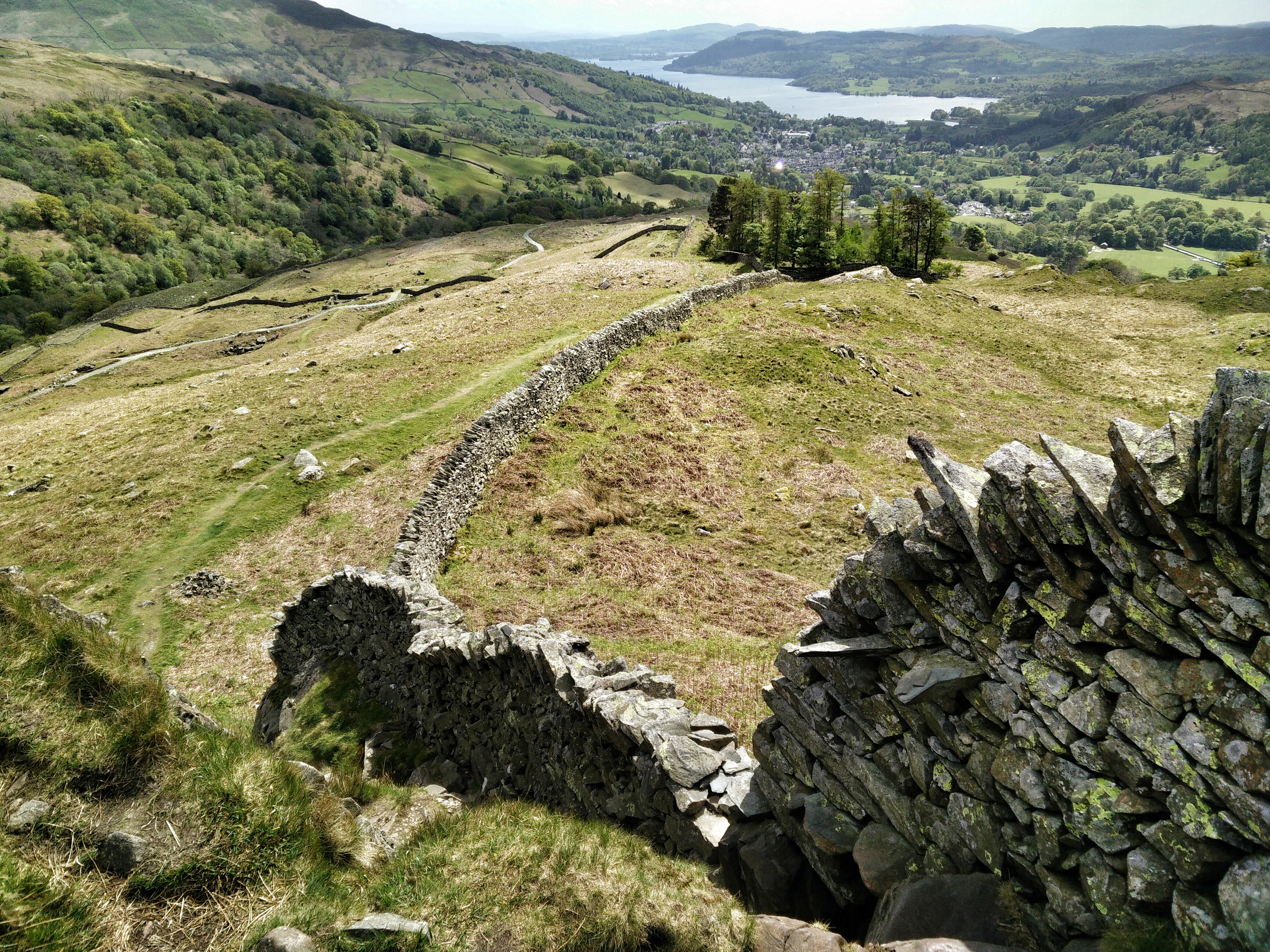
The two days couldn’t have been more different, which goes to show how the weather can really affect both your safety and enjoyment when walking at altitude. Sunday was glorious; I wore my sunglasses virtually all day, and enjoyed an ice-cream by Lake Windermere when I came back down. Monday, however, was a completely different story: 40mph winds, incessant (freezing) rain, and low visibility.
Planning
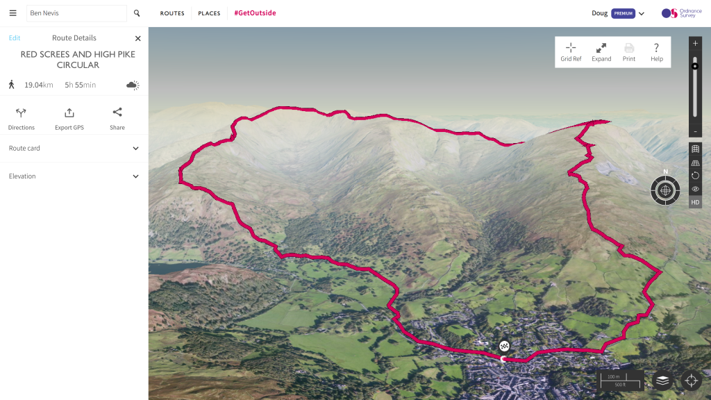
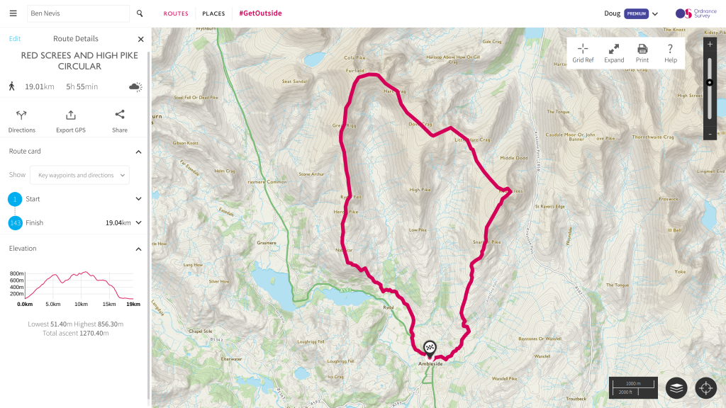
I planned my routes by using OS Explorer Map OL7, and by using the Premium features of the Ordnance Survey website. I’ve found the latter extremely useful since its launch, particularly the 3D mapping feature. It means I (should) know what to expect before I get there.
Checking the Mountain Weather Information Service (MWIS), I could see that Sunday and Monday were going to be very different days. It’s actually the first time I’ve opted to go out at this time of the week, a decision we made as a family so as not to interfere too much with our children’s activities. However, as it happened, that meant an extremely difficult day on Monday, with little time for recovery before work on Tuesday.
Sunday (QMD 9)
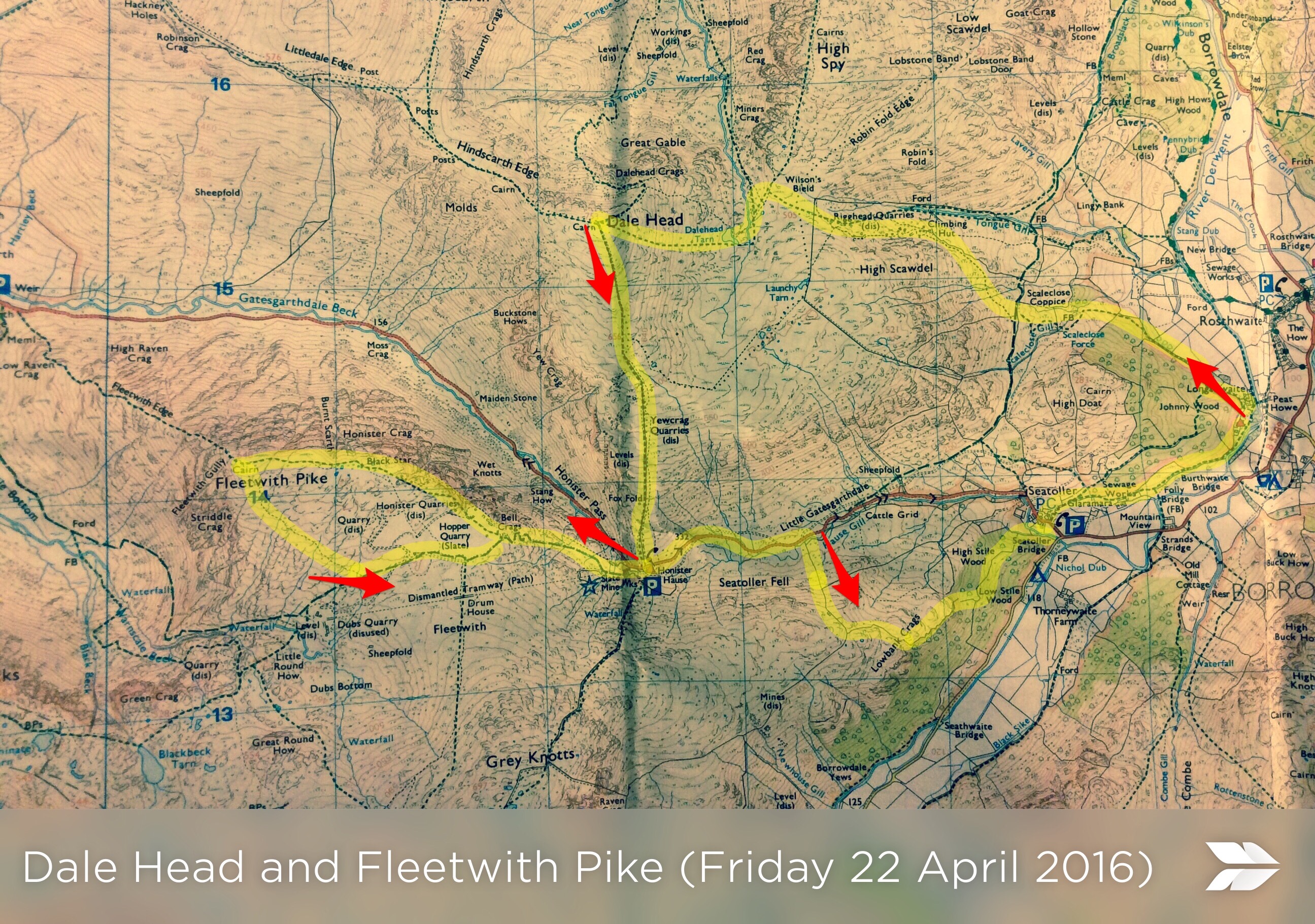
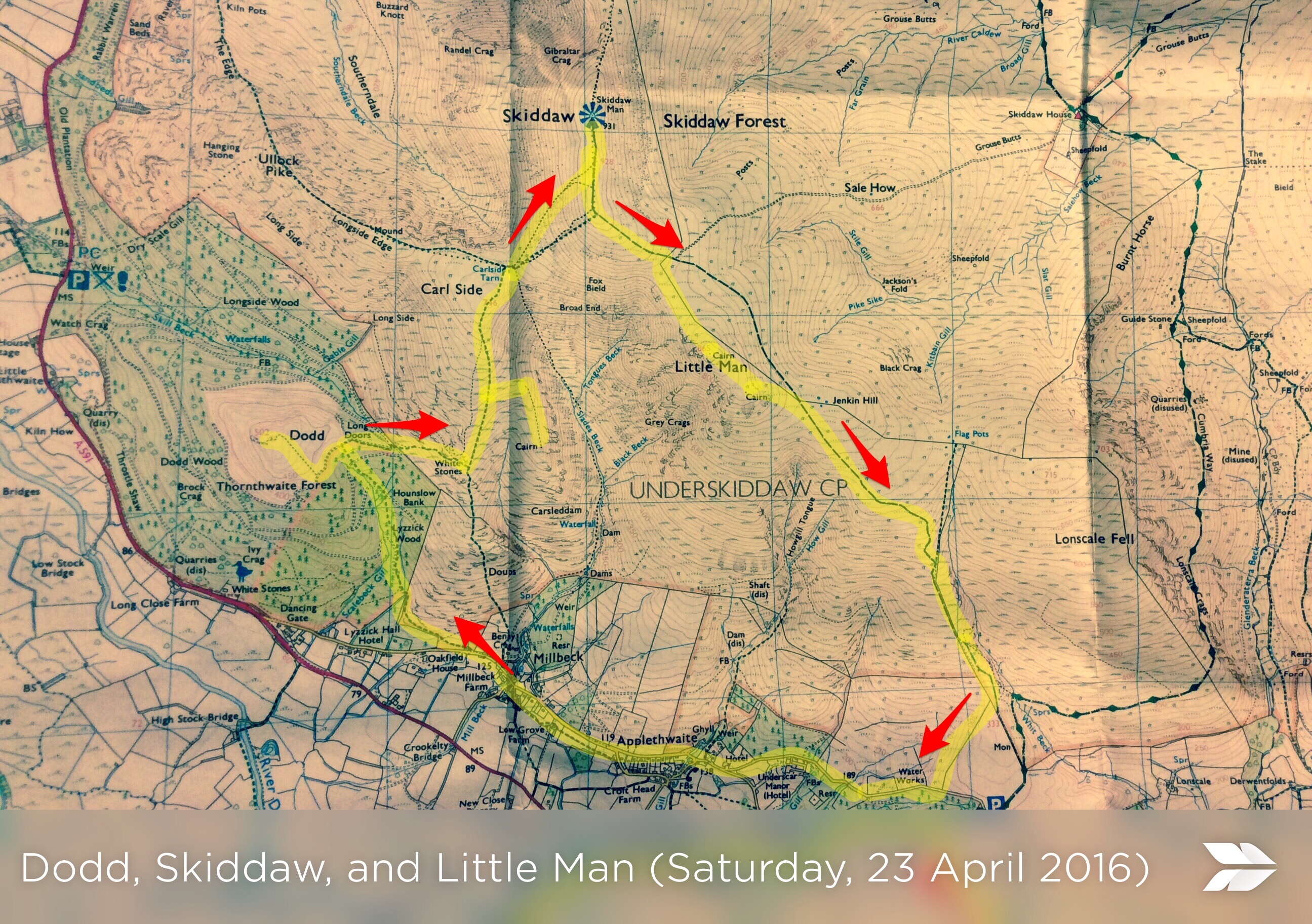
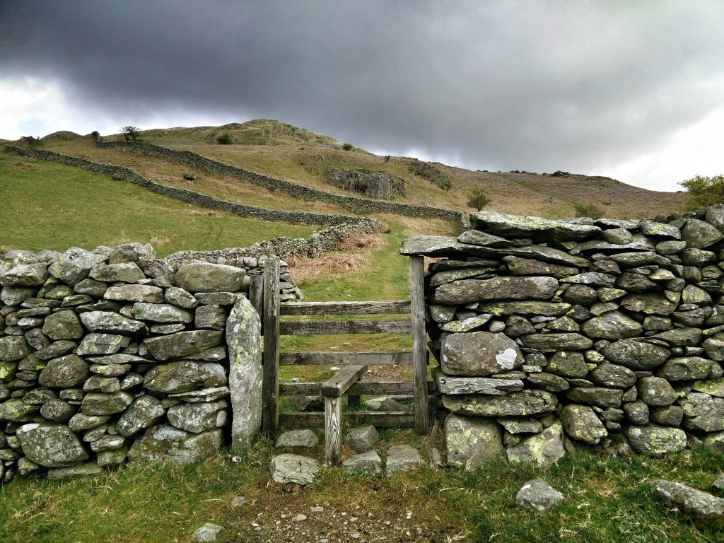
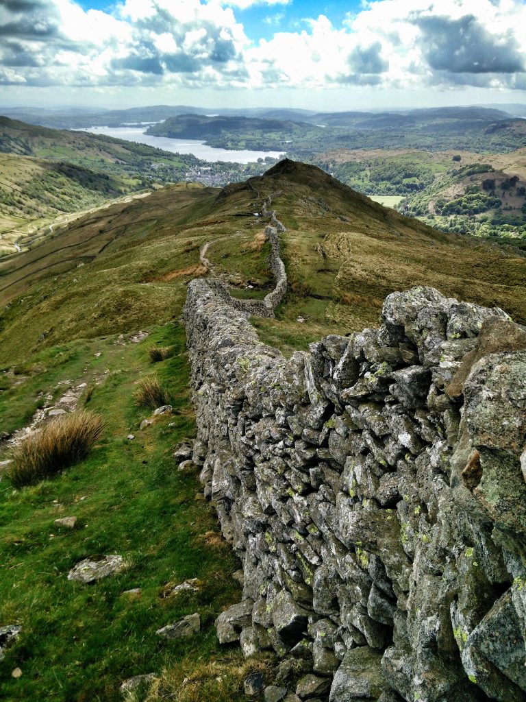
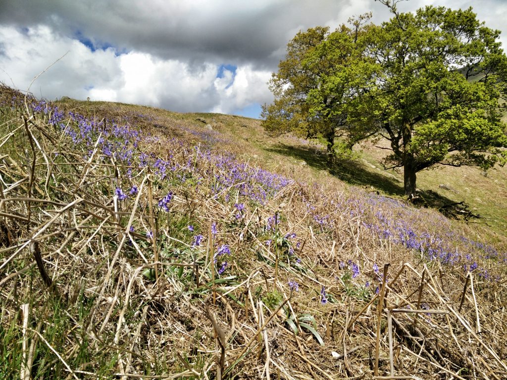
The route I planned for my first day of walking took me up Red Screes, across over Dove Crag and Hart Crag, round by Great Rigg, and back past Rydal.
Usually, I record my actual route using the OS Maps app. However, for whatever reason, my battery was extremely low by the time I arrived in the Lake District. I think that was down to a faulty cable that made it look like my phone was charging while Google Maps was giving me directions, but that wasn’t actually the case. I prioritised being able to make calls in the event of an emergency over recording my actual route.
On the way up I met a retired guy coming down Snarker Pike. We got chatting, and he mentioned that he’d gone up there early to watch the sunrise! I noticed that, although it was dry where we were, he was wearing gaiters, so I decided to put mine on.
A bit further on, I ended up deviating from the route I’d planned after making a mistake. After checking my map and compass, it looked like I was heading for Middle Dodd. I made a course correction to ensure I was going to Little Hart Crag, but that actually took me off in the wrong direction. As a result, I had to traverse the side of a mountain. That wasn’t much fun on the knees and ankles!
Once back on track, I decided to go up the steeper route to Scandale Head. As my detour had added time onto the route I’d planned, and I knew the next day’s walking was going to be challenging, I decided to come back down via High Pike and Low Pike. I didn’t want to be out for longer than I needed to be.
On the way back down I met a guy using walking poles. I asked him about them, as I’d intended to buy some when I got back home. He said how inexpensive they were, and how much of a difference they made. I resolved to buy some when I got back down to Ambleside.
It was a pretty straightforward route back to the car, the only slightly tricky bit was getting down Sweden Crag. I walked back to the car, and then straight into Mountain Warehouse and bought some walking poles. I was out exactly five hours, from 09:15 to 14:15.
The rest of the day I spent eating ice-cream, reading the newspaper in the pub, and talking to people at the hostel. There was one guy in particular who was really interesting and ended up telling me his life story.
Things I learned:
- Double-check before doing a ‘course correction’ just in case you were actually on the right path.
- Always wear gaiters.
- When it’s been dry for a long period of time, overnight rain can make everything slippery.
Monday (QMD 10)
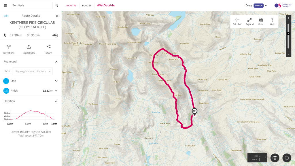
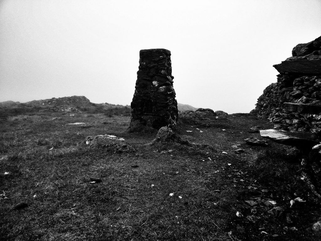
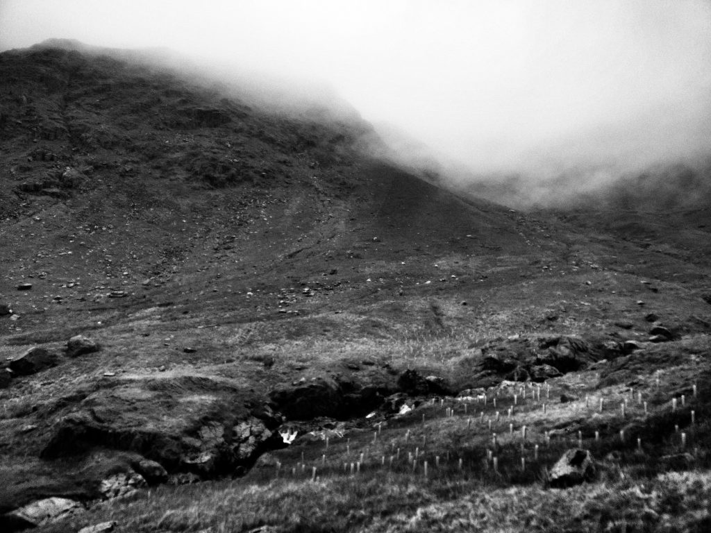
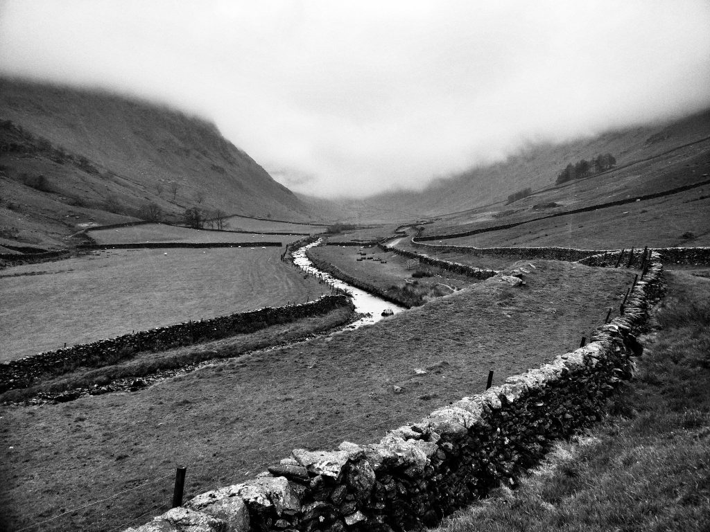
After Sunday, it was hard to believe that Monday’s weather could be so different. However, I trust MWIS, so had planned a route that I thought would be challenging yet safe. Parking the car at Sadgill, I plotted an anti-clockwise walk up to Harter Fell, then Kentmere Pike, and back down and round to the car.
I usually enjoy my walks, even if it’s physically (and sometimes mentally tough). I did not enjoy Monday at all. There were times I could barely see. The four layers of clothing I was wearing were so wet I could wring them out along with my gloves. The wind was brutal and the freezing rain and low cloudbase meant I couldn’t see much.
While I had my phone with me, once I’d put it in the right mode to record my route and took a few photos, I left it alone. There was too much rain to use the touchscreen, and any time I put my arms down from the 90-ish degrees of using my walking poles, water gushed out of the opening to my coat. It was pooling in my sleeves.
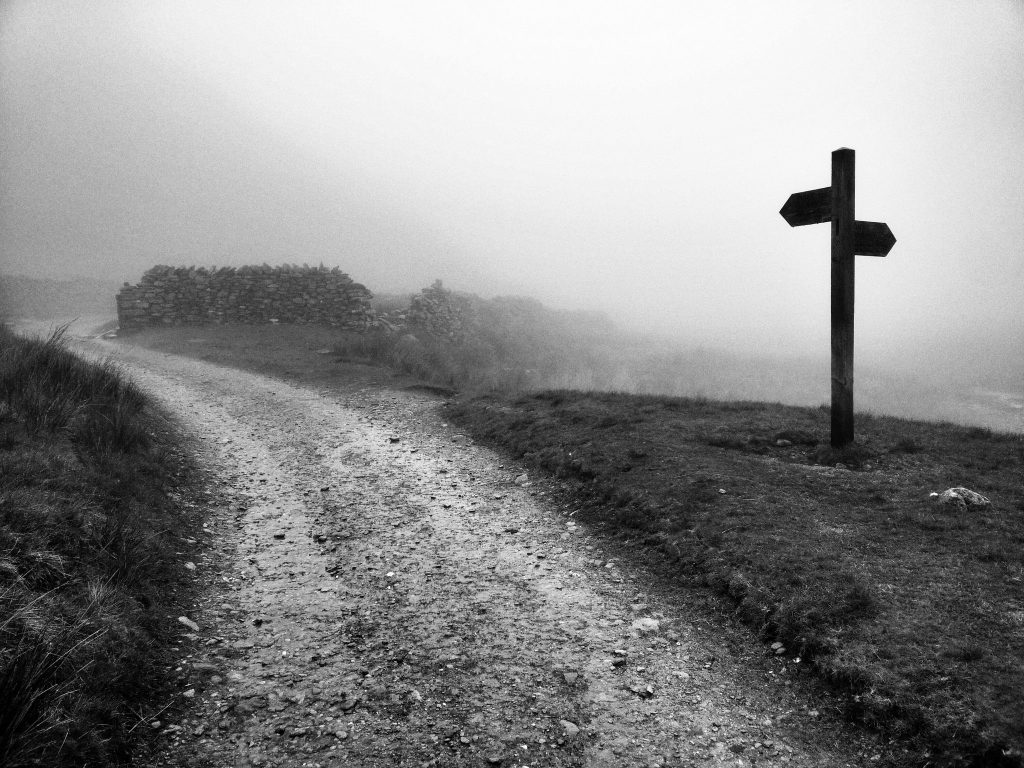
There were a couple of times on the way up to Harter Fell that I thought I was going the wrong way. It’s easy to get disorientated and, stupidly, I’d managed to leave my compass in the car. It was only after triple-checking my map that I was convinced I was on the correct route. Thank goodness for the distinctive shape of some fields. I probably should have done some pacing, but I was too miserable.
While it wasn’t too catastrophic, I did make one mistake on Monday. I mistook one corner of a field for another, went over a stile, and then realised I was rather close to a very steep edge. I retraced my steps, got my bearings, and got back on track.
Everything was going fine, and I was looking getting back to the dry warmth of my car. I could feel myself speeding up, as the BPM of the songs going through my head were getting faster.
As happened the day before, I had to climb down a crag on the way back. This one, Wray Crag, shouldn’t have been an issue. The problem was that it was my first day with the walking poles. They’d been great up to that point, really saving my knees. One thing I hadn’t done, however, was keep checking that the clasps keeping the extendable bits in place remained tight. It was as I used my left-hand pole to steady myself as I come down the crag that it gave way.
I must of only tumbled down a couple of metres, landing on my elbow and hip. I got up straight away, cursing myself for my stupidity. Realising I was alright, I counted my blessings, as if I’d hit my head it could have been very different. I tightened my walking poles, and strode on.
Getting back to the car, I looked at my watch. I’d set off at the same time as yesterday (09:15) but got back to the car by 13:45. So a four and a half hour walk, instead of the five hours I’m supposed to do for a QMD. I’m still counting it, as it was extremely challenging for me, I didn’t stop for more than two minutes at any point, and I learned a whole lot.
My phone turned off as soon as I got it out of my rucksack, and wouldn’t turn back on. I was convinced it had irreparable water damage, and had to use my car’s inbuilt satnav to get back home. I dried myself and changed clothes rather awkwardly in the back of the car before driving home.
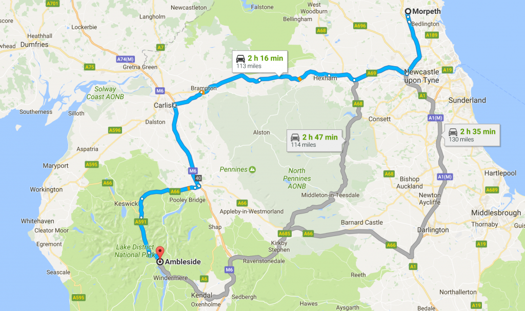
Given that I’d told my wife to phone Mountain Rescue if she hadn’t heard from me by 17:00, it was important I got home before that time. Fortunately, it’s only a bit over two hours from that part of the Lake District back to my house. I stopped at a service station for all of five minutes for a coffee, a sausage roll, and a cinnamon bun, and got back home in record time.
Things I learned:
- Check. Your. Poles.
- Don’t go up a mountain without a compass.
- I probably could do with a waterproof phone.