Quality Mountain Day 13: Park Fell, High Street, and Ill Bell (Lake District)
I’m still attempting to get in the twenty Quality Mountain Days (QMDs) I need before I can book myself on a a Mountain Leader course. I contracted to work four days per week for Moodle. As I worked five last week, I took the opportunity to work three this week and sneak over to the Lake District this Thursday and Friday.
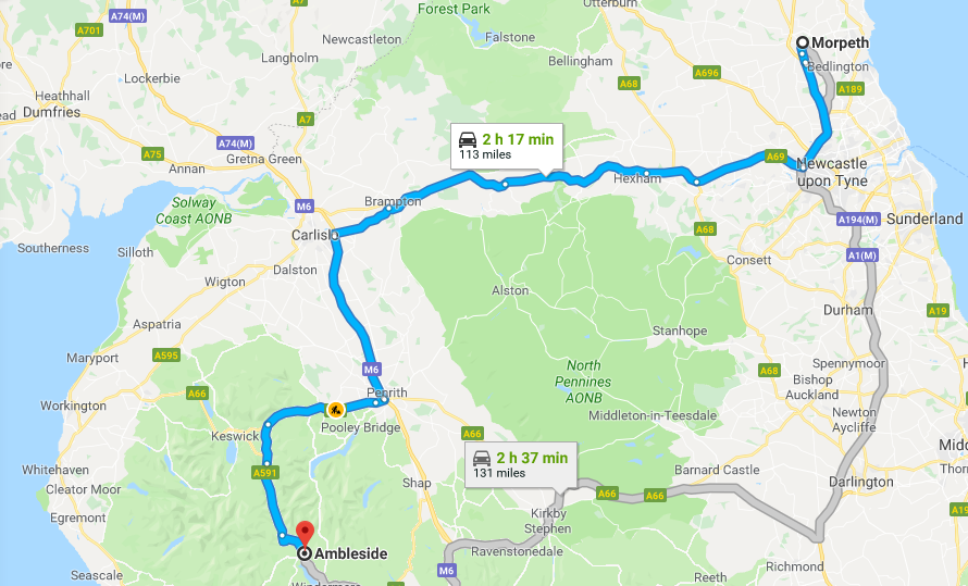
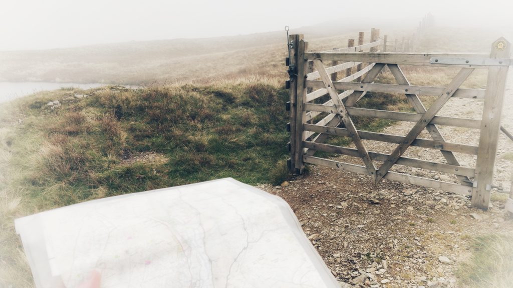
I’ll get my excuses in now: I developed a bit of a cold the day before I went, my right knee felt a bit weak, and the Mountain Weather Information Service was forecasting winds of 35-50mph on the peaks in the Lake District. That’s why, instead of plotting my own route for QMD 13, I chose one of the ‘premium’ routes provided to Ordnance Survey Maps subscribers (like me!)
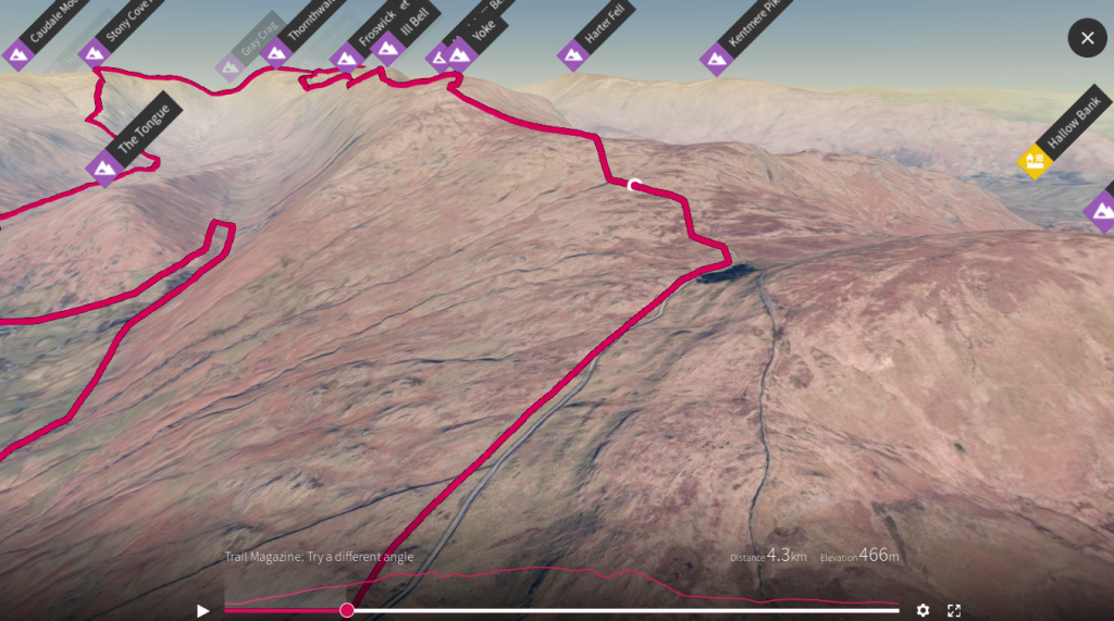
In the event, I modified the 24km route a bit. It ended up being the same length but, of course, the bit I changed as a ‘shortcut’ ended up being the hardest part!
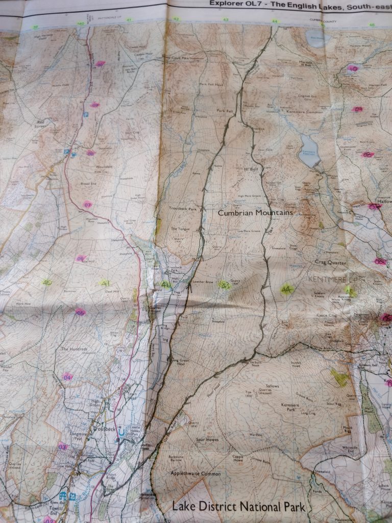
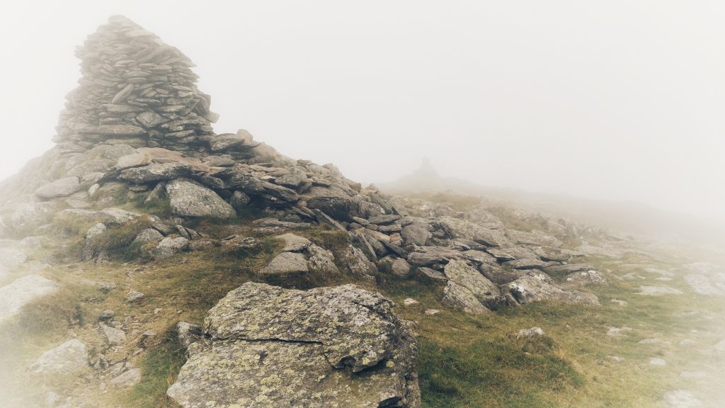
It was easy going at first. I parked at Low Fold, and walked down to Church Bridge, along through Limefitt Holiday Park, and along the valley towards The Tongue. I had nipped up the hill quickly to see if I could see the cairns supposedly on my left (I couldn’t) and stopped for a coffee.
As I sipped my less-than-stellar brew, I looked up and realised what my ‘shortcut’ entailed: a steep ascent up Park Fell. I girded myself and plodded up it, stopping occasionally to, ahem, ‘admire the view’.
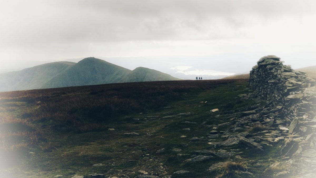
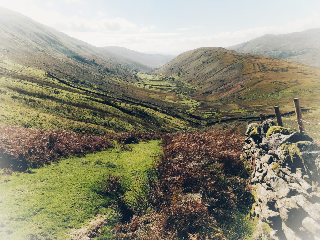
I continued on to Thornthwaite Crag in the glorious sunshine and more to eat and drink. There were quite a few other walkers out and my walking poles made this shallower ascent much easier. The next bit was just a saunter around the corner to the top of Racecourse Hill. Annoyingly, it was just off the edge of my paper OS map, but I’d seen on the online version that it wasn’t much further.
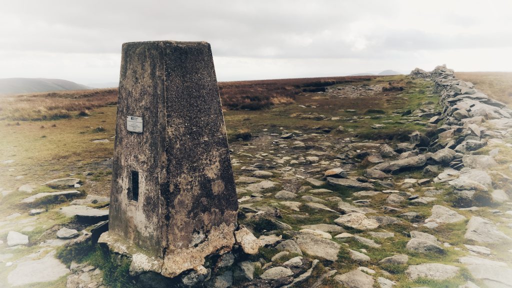
As I started back from Racecourse Hill, the weather started to turn. I could see it coming in from a distance, so I had to decide whether to continue with my planned route or whether to modify it. I decided to keep going as modifying would mean either walking further or a steep descent.
By the time I got past High Street and on to Froswick, I couldn’t see the top of the next summit, Ill Bell. In fact, as I got to the incline to start the ascent up Ill Bell, the girl who was walking in front of me abruptly turned round and decided to go back. I, however, decided to power up it. It’s not often I put on music when I’m walking, but I needed some motivation. Getting to the top felt like an achievement.
From there, walking over to the Yoke, and then down to Garburn Nook was straightforward. I was tempted by what looked like a shortcut down to Limefitt Holiday Park, but when I got there saw that there was a lot of bracken. I’ve been seduced by that option before, and it didn’t turn out well. I kept going.
Six hours and 23.63km later, I arrived back at my car. It wasn’t the hardest walk in the world, given that I stuck to the paths, but I had to make decisions along the way and deal with changing weather conditions. So I reckon that counts as a QMD!
Things I learned:
- Think carefully about ‘shortcuts’ before taking them.
- Sometimes it’s OK to stick to the paths.