
Quality Mountain Days 3 and 4: Lake District
As I mentioned last time, to get onto the Mountain Leader course, I have to get 20 ‘quality mountain days‘ under my belt. Given that I often work away, and I’ve got young children, it can be difficult to get away at the weekends. I’m going to have to be a bit more disciplined about this if I want to get on the course before the end of 2017!
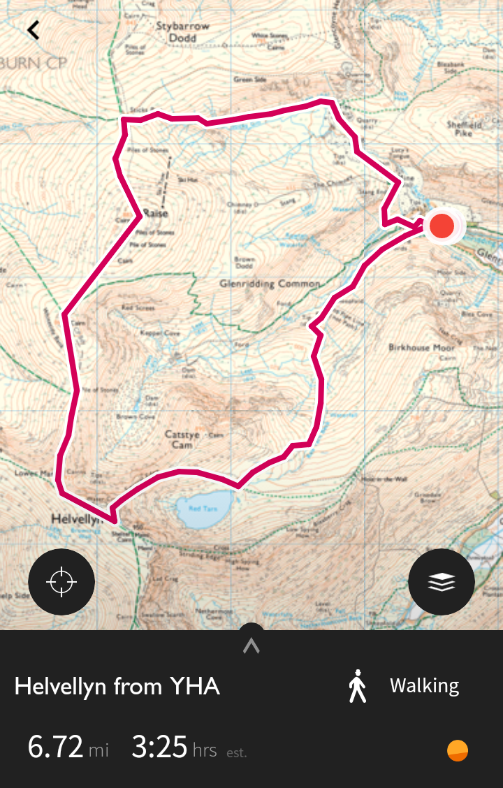
Since last time, I’ve started using the Ordnance Survey’s OS Maps app. It’s not perfect, but it is pretty great. If, like me, you buy a new (paper) Landranger map, you get the digital download of the map through the app included. One of the features of this is the ability to plan a route in the app.
Friday (QMD 3)
I drove over to the Lake District on Friday morning. Google Maps didn’t seem to recognise ‘Helvellyn YHA’ so I just typed in ‘Helvellyn’, planning to course-correct when I was closer to my destination.
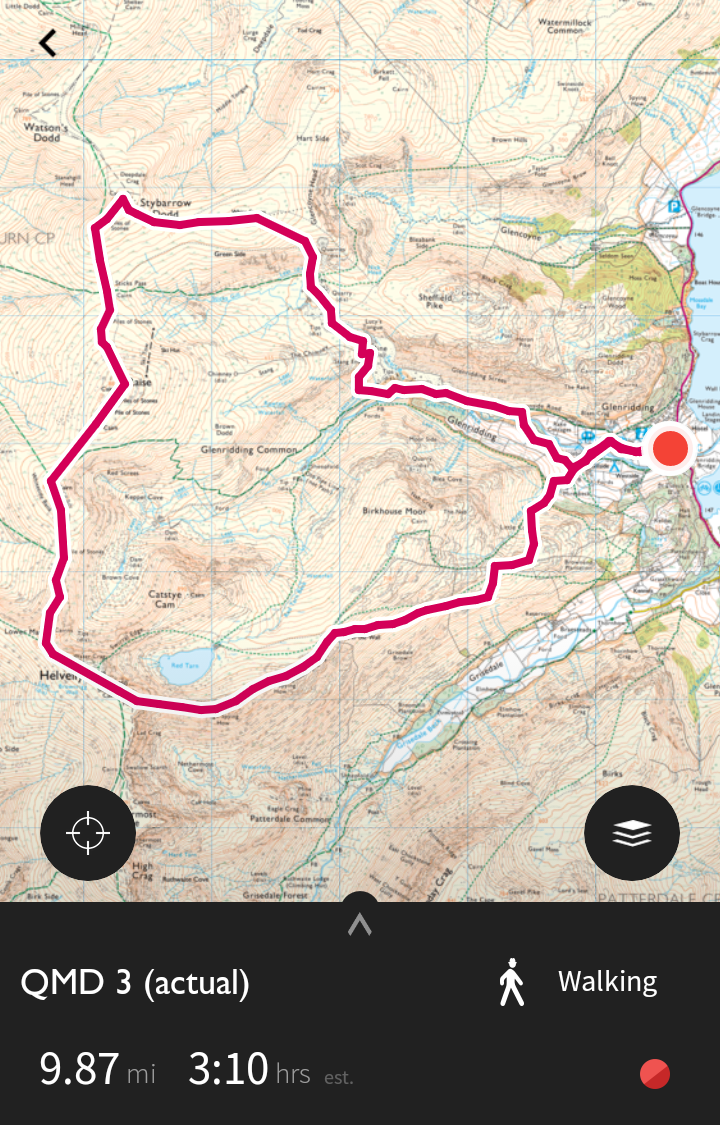
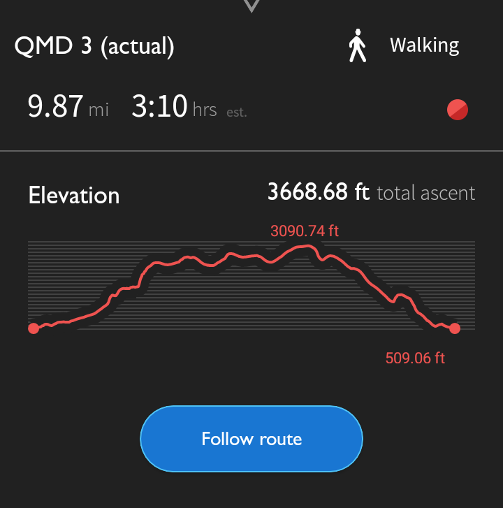
What actually happened was that Google Maps took me to the other side of Helvellyn. When I drove back (adding half an hour to my journey) I couldn’t see the road up to the hostel. As a result, and as you can see from my actual route, I started from a car park in Glenridding.
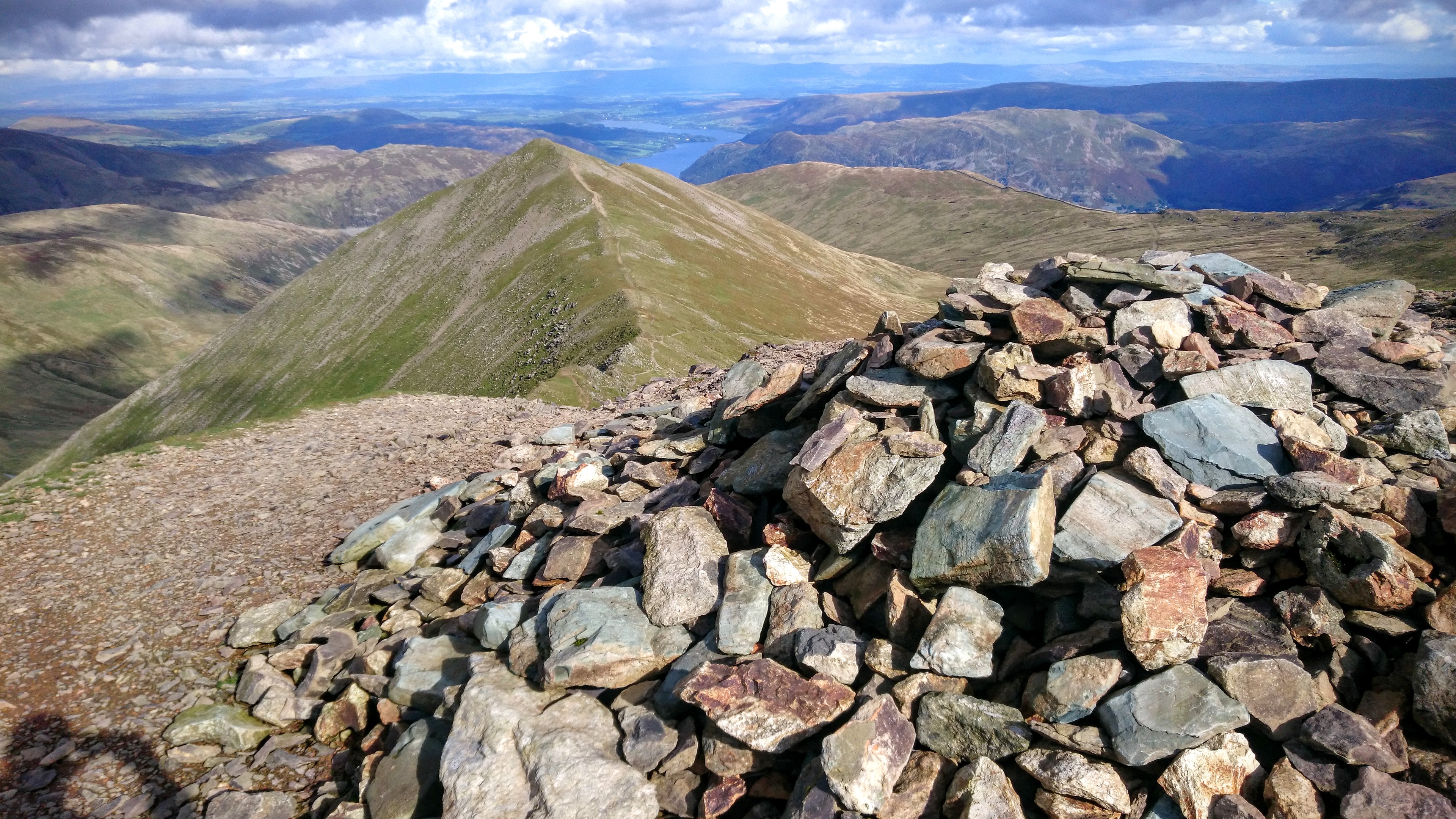
The other difference between my planned route and what I actually walked is that I decided to return to the hostel via Striding Edge. This isn’t a route I’d do by myself if the weather was bad, but as it happens it wasn’t very windy and the sun was shining!
I re-created the route when I got back to the hostel and it estimated that it took 3 hours 10 minutes. In fact, it took over four hours. I’m not entirely sure how the OS Maps app can quote a shorter amount of time for a route that’s 50% longer (see below!)
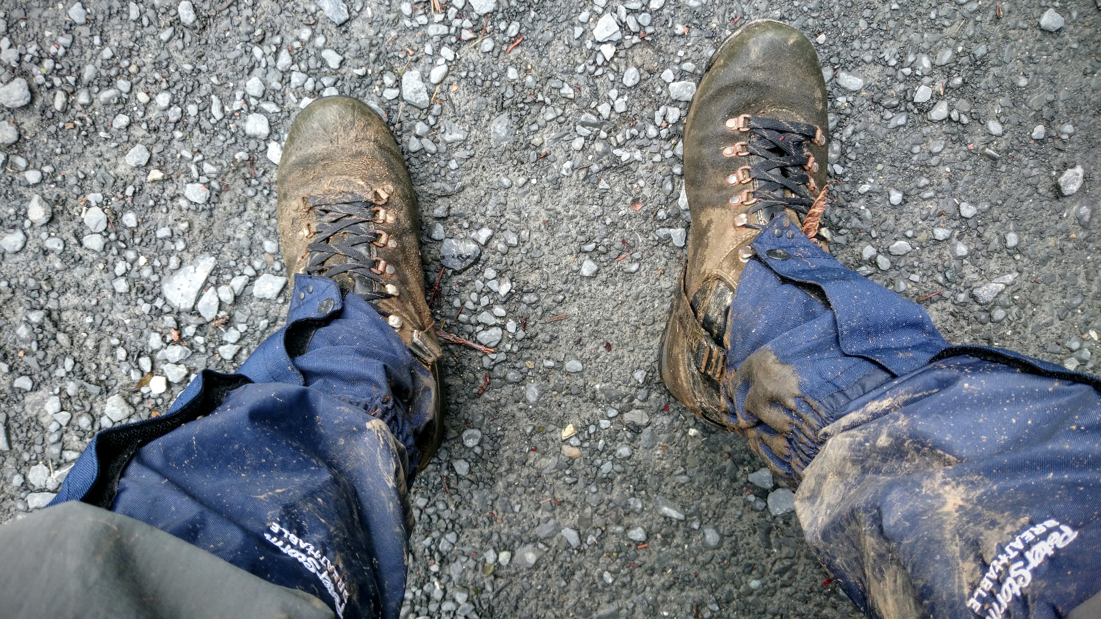
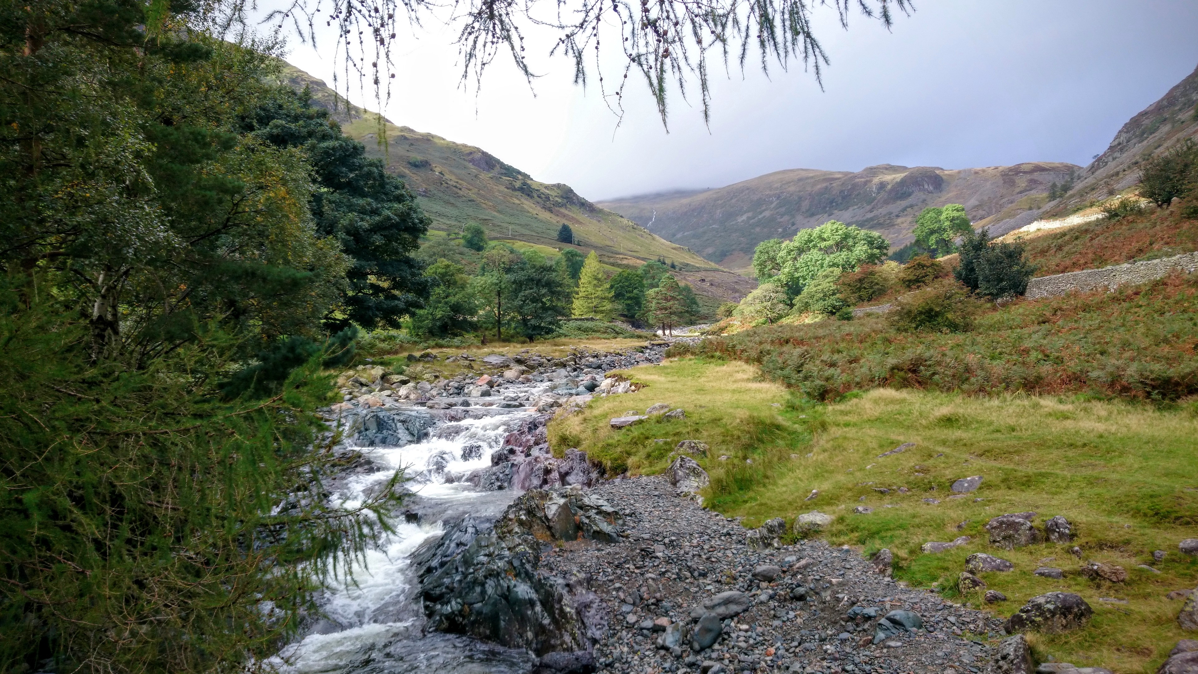
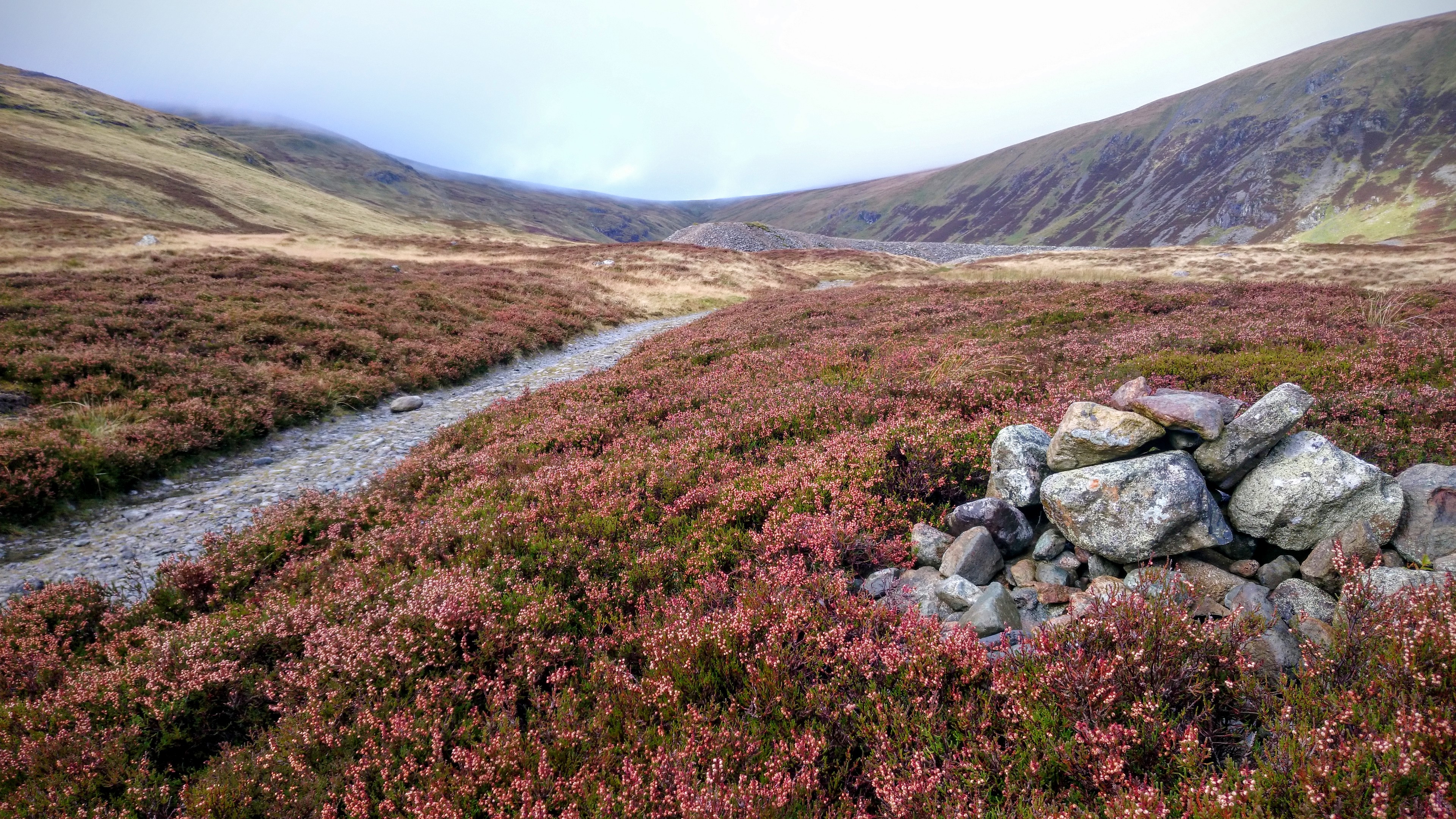
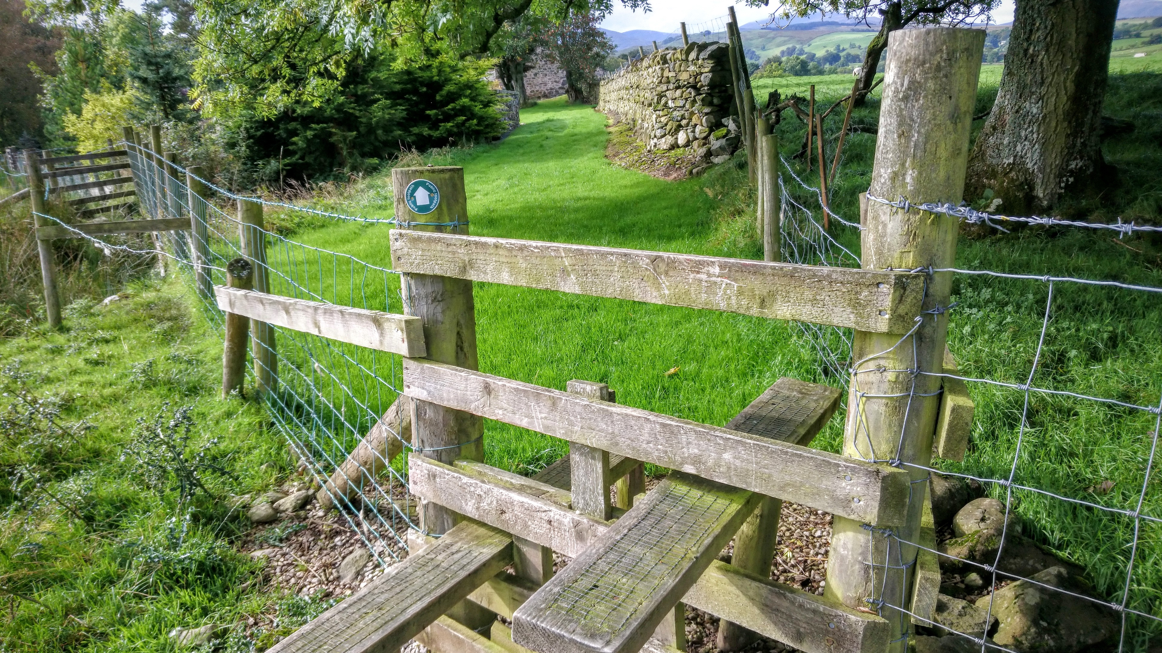
Here’s a few photos from Friday:
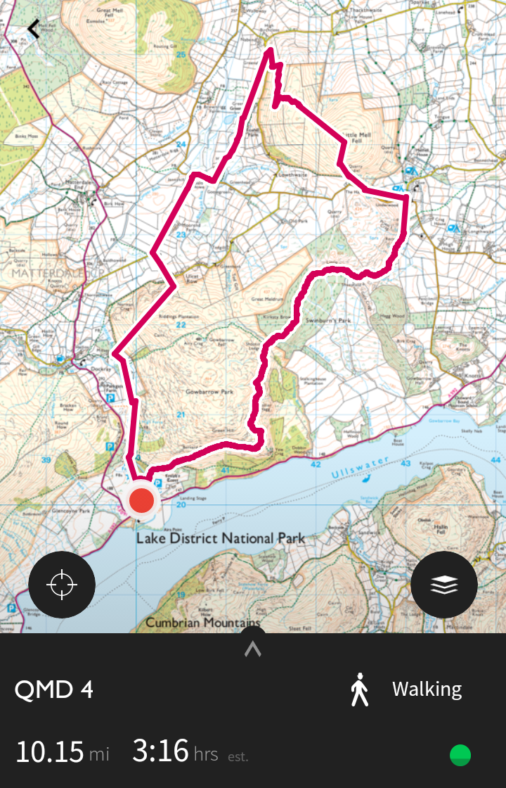
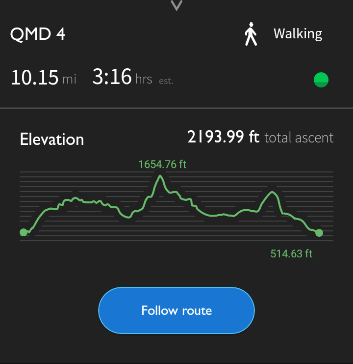
Saturday (QMD 4)
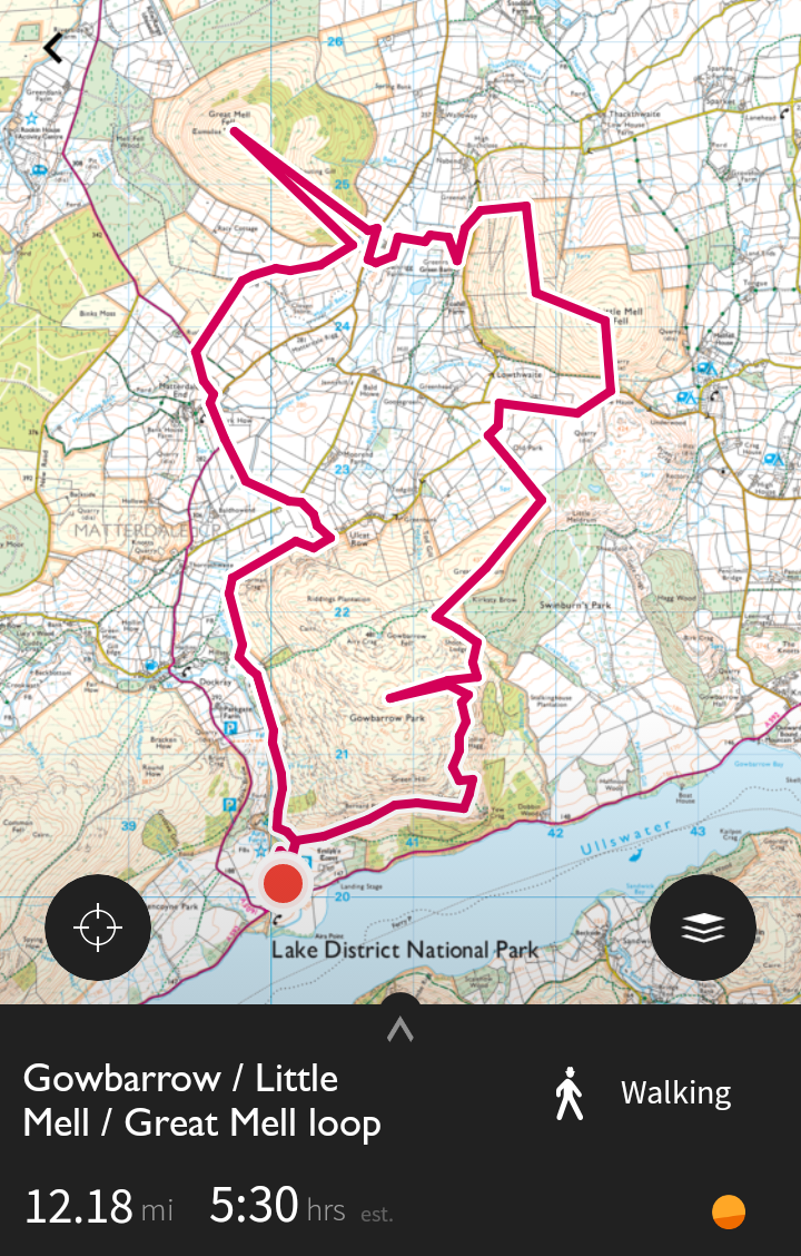
After a couple of beers and dinner with fellow hostellers, I slept well and was up at 7am ready for my next day of walking. I’d planned to go up to the top of Gowbarrow Fell, Little Mell, and Great Mell.
However, this wasn’t feasible given the amount of bracken on the steep ascent on the east side of Gowbarrow. Instead, I pressed on, and took a slightly different route up Little Mell Fell. It was hard work.
This is the actual route I took as I discovered the feature in the OS Maps app that records your route via GPS. I decided to skip going up Great Mell Fell and head back via High Force and Aira Force. That was a pleasant end to my walk.
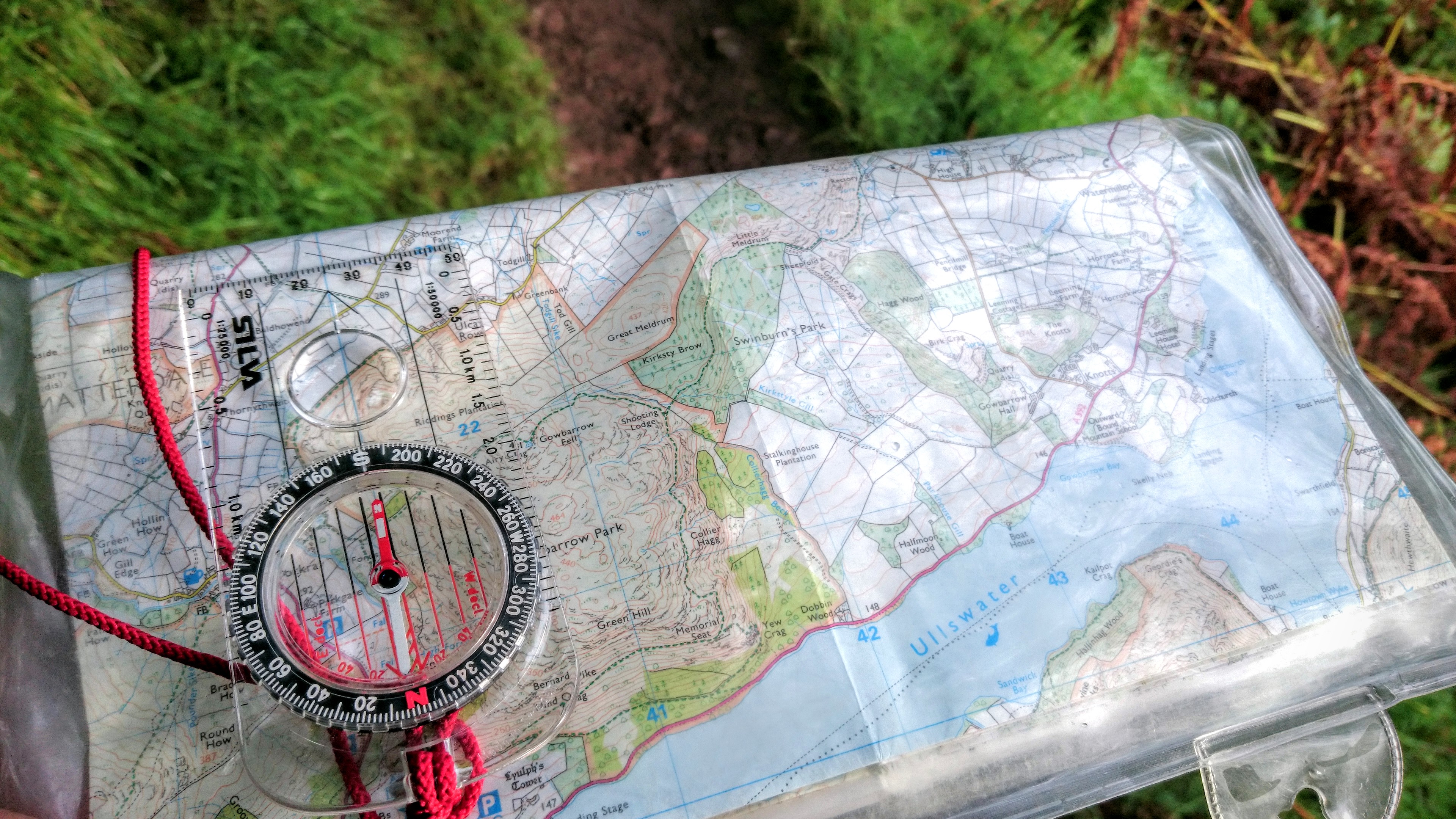
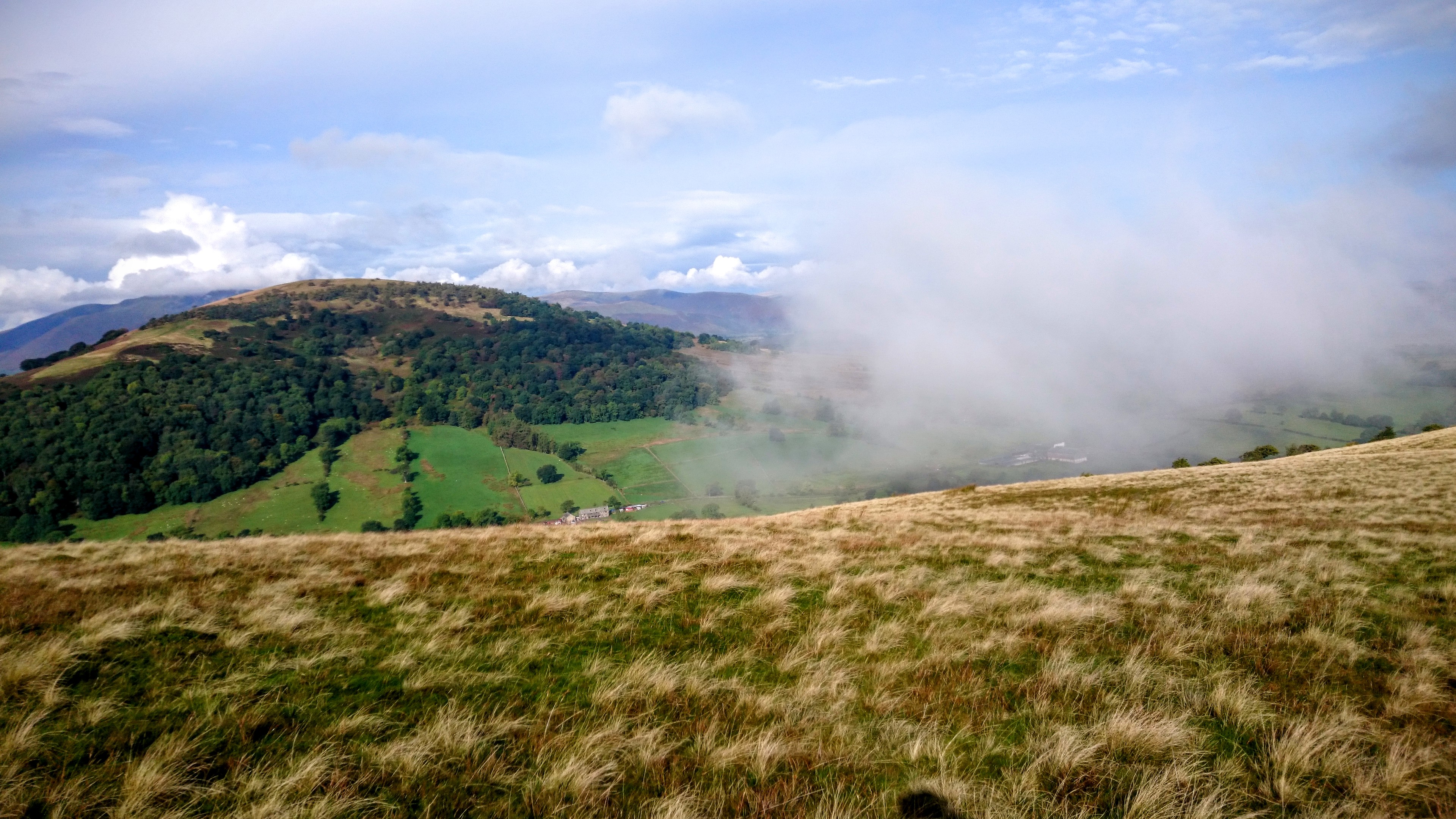
Here’s some photos from Saturday:
I’ll probably spend another couple of days in Lake District, and then move onto mountains in Scotland and Wales. Given that the Lake District is less than two hours away, these will be longer trips…
What a wonderful thing to be doing. The Lake District is my favourite place on the planet, bar none.
We happen to live on the edge of Snowdonia now though (or at least about an hour away). If you’re ever heading down the A5 you should pop in on us (and meet the other Doug and Dai!)
Tim
Thanks, Tim! I’ll definitely bear that in mind as I’ll have to do Wales at some point…