
Quality Mountain Day 14: Whiteside Pike, Ancrow Brow, and White Howe (Lake District)
Yesterday, after 24.63km as part of Quality Mountain Day 13, I followed a route that was both similar and different to what I’d experienced the previous day.
The similarities? It was a horseshoe route, and around the same overall distance. The differences? The ground was boggier, and I wasn’t following a pre-defined path.
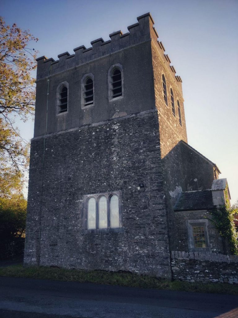
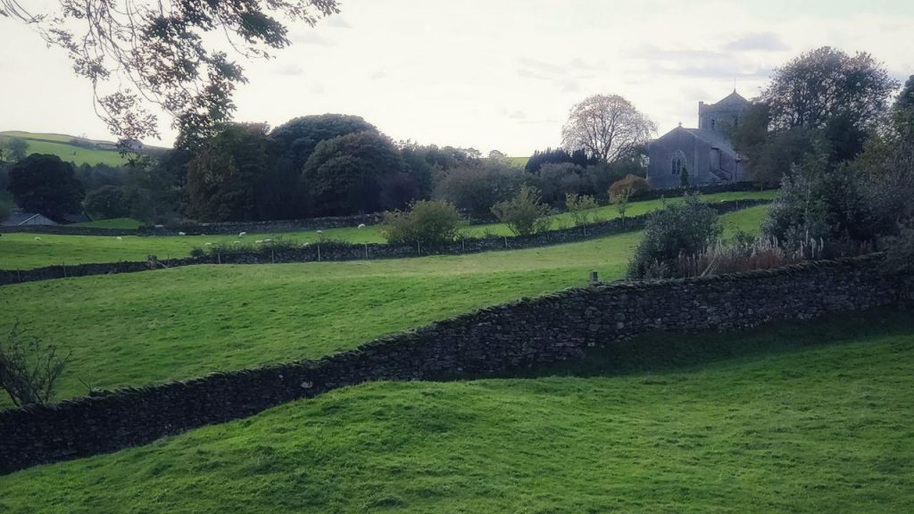
As it wasn’t a defined route, I had to find somewhere to park. I decided to park next to the church at Selside, which meant a slightly longer overall walk. I began properly at where the path crossed the A6.
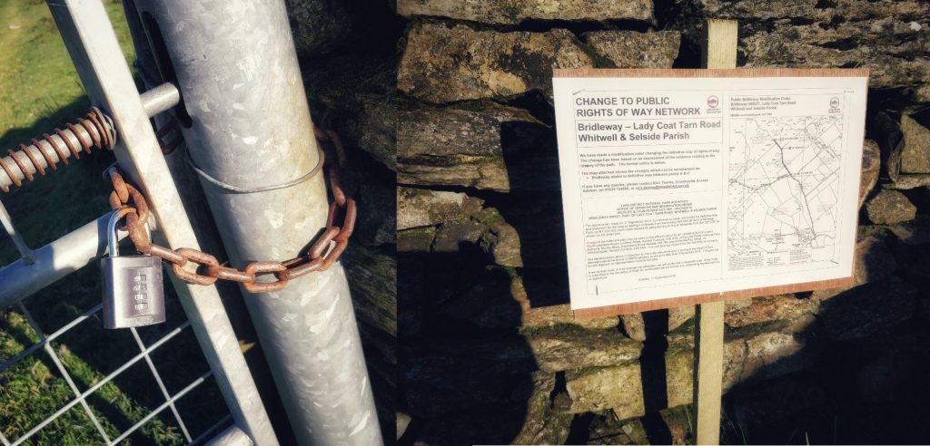
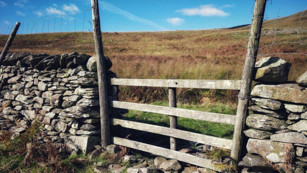
Interestingly, there were a few occasions during the route I chose where notices posted last week indicated a change to public rights of way. This was the most interesting one, near the start of my walk. Evidently, the farmer had padlocked the gate and the notice was re-enforcing a public bridleway. I just jumped over the fence.
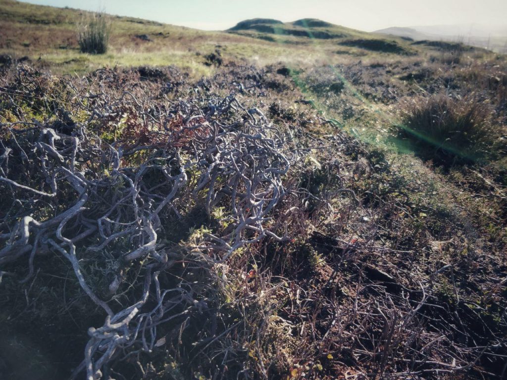
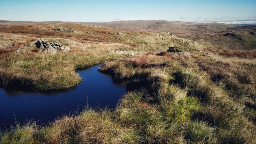
The ground was covered with heather and other low-lying vegetation that like boggy ground. I knew I was in for a bit of a hike. It was also clear that I wasn’t going to see many other people, unlike the previous day.
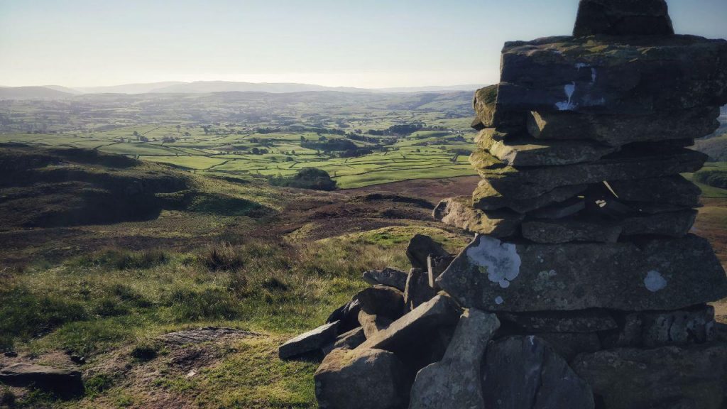
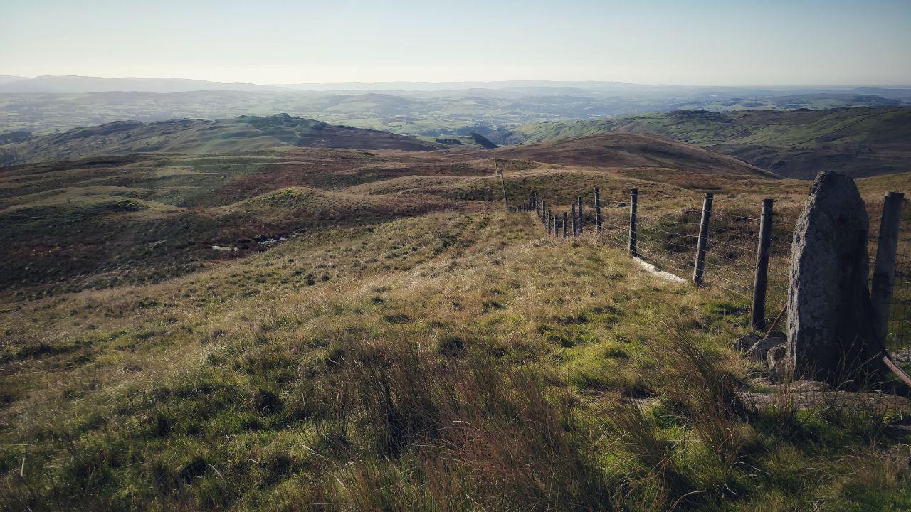
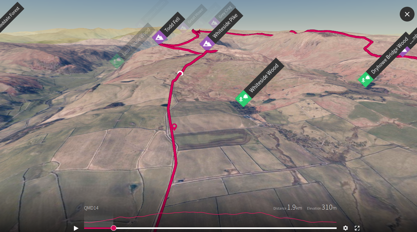
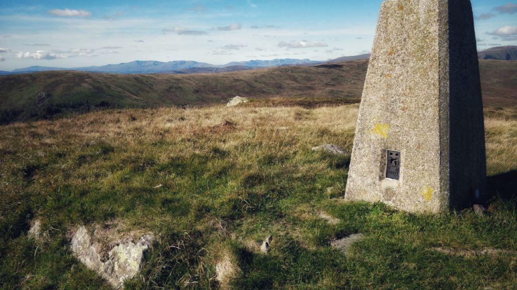
The first peak I ascended was Whiteside Pike (397m). The views were breathtaking, and the climb up there straightforward. I then had to decide how to get across to Todd Fell (401m).
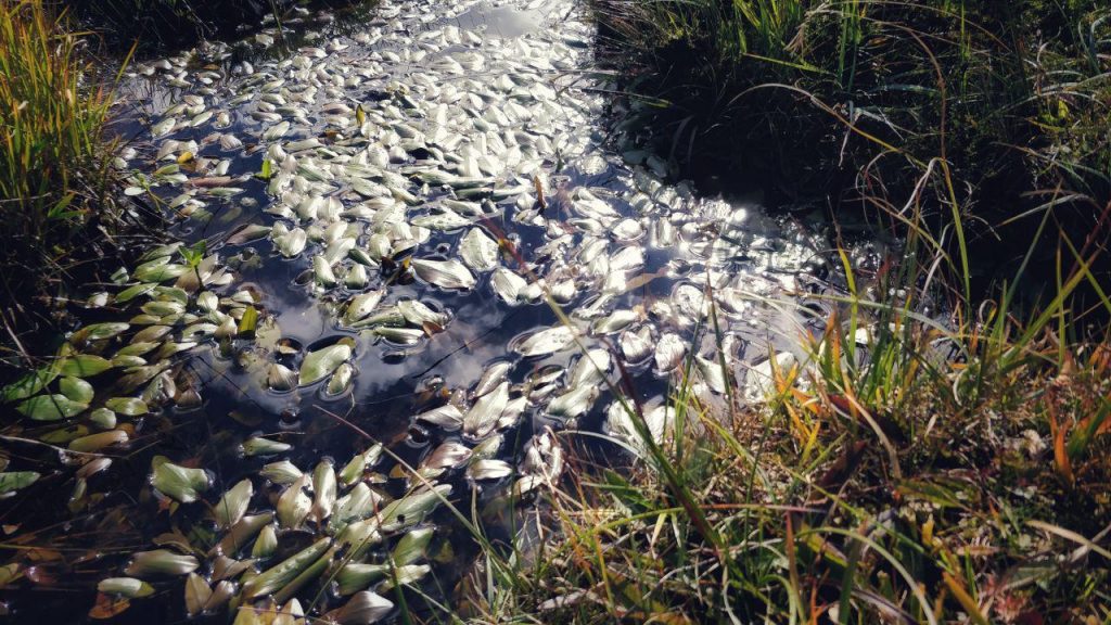
The most difficult thing about this walk wasn’t the length or even the height I ascended to with each peak. It was the ground, which varied between clumpy and extremely boggy.
That mean that even the relatively simple task of getting from one peak to another often involved detours and figuring out the lay of the land.
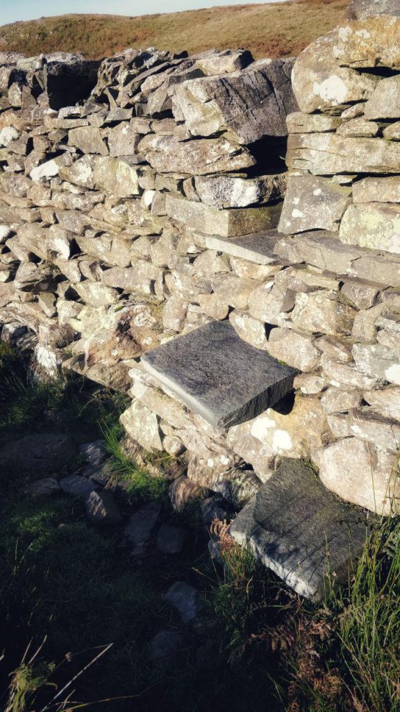
I spotted a stile built into a drystone wall as I descended Whiteside Pike, and so made my way towards, and over, it.
As I looked over to the east, I noticed that the next valley had very low-lying cloud. Unfortunately, this had dissipated by the time I got round the horseshoe to have a closer look, but it did lend a certain ethereal quality to the walk.
My biggest problem during this walk, as I’ve already stated, was the boggy ground. This made things hard going at times, and also meant that I had problems with my walking boots. I’ve bought gel insoles that are great, but sometimes work their way loose and ‘ruck up’ inside my boots. This causes me pain, so I had to stop three times in total to sort them out.
I was walking with two poles which made life a lot easier. I learned to lengthen and shorten the poles depending on whether I was going uphill or downhill. One of my favourite things to do with them is to use them as a kind of way to ‘pole vault’ across small streams and boggy ground. On one occasion I put my pole into the ground and it… kept going!
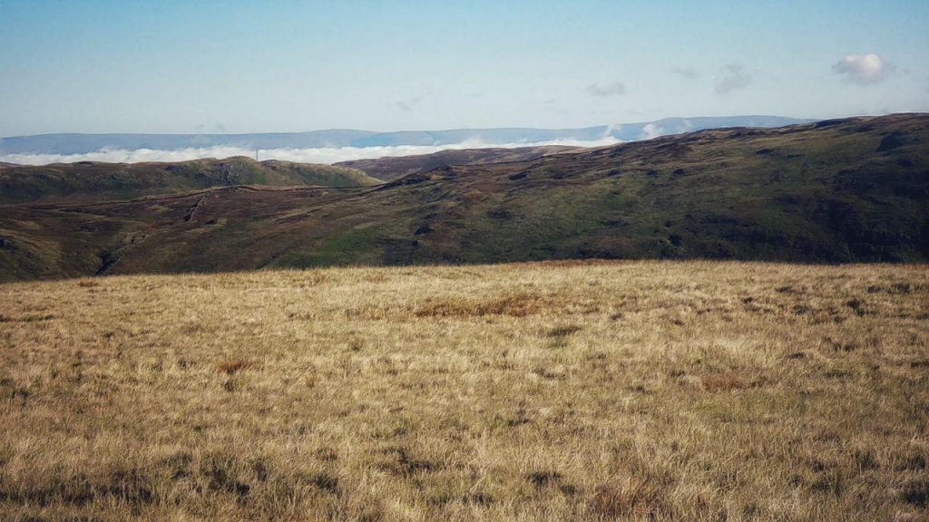
I made my way up to Cappelbarrow (512m) and then round to Ancrow Brow, stopping to drink and eat occasionally. It was a glorious day, and this part of the walk was the easiest.
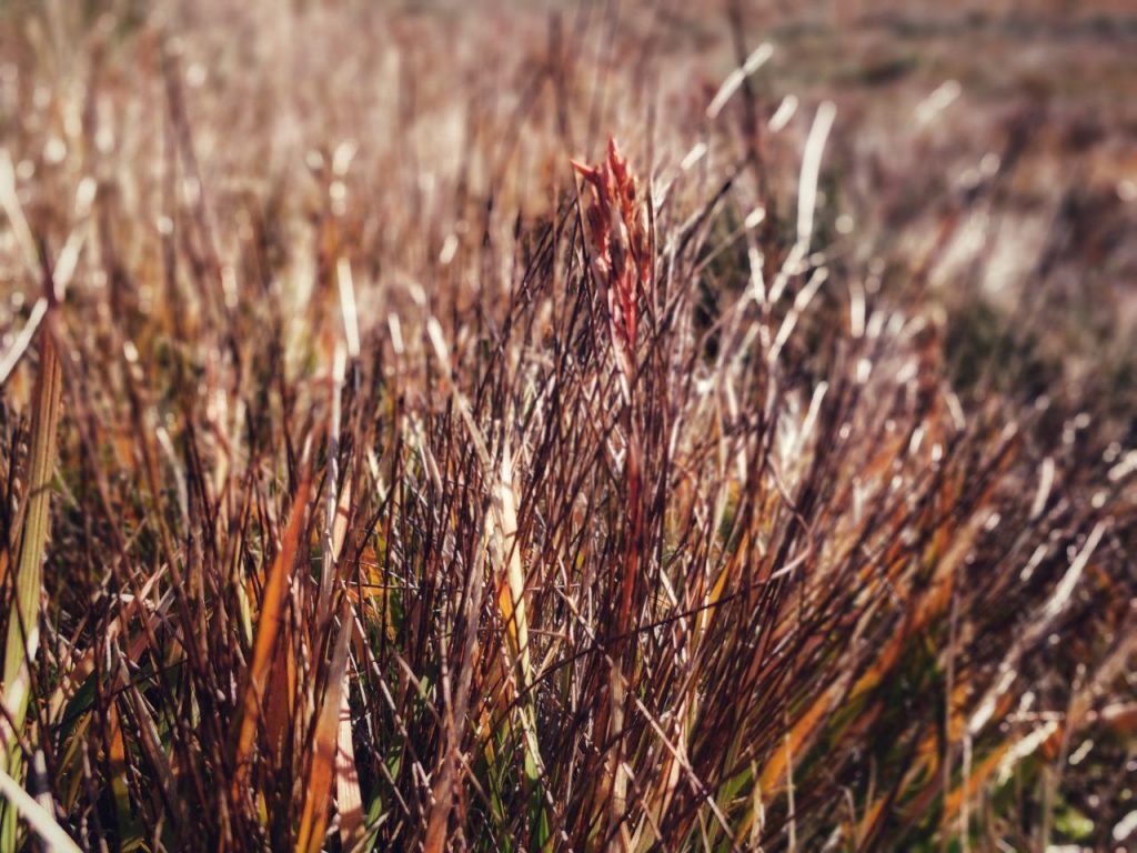
There was a real diversity of vegetation on the ground, including some areas that were almost red with a plant I’ve yet to identify.
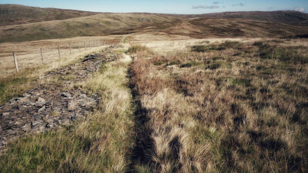
As it was a bit of a trudge going through the boggy ground, I took the opportunity to follow trails made by animals and farmers’ quad bikes wherever possible. So my route around to Long Crag (493m) wasn’t as I’d planned, as I didn’t stick to the fence but instead followed the trails.
By the time I got to White Howe (530m) I was looking forward to making my descent, getting to the car, and driving home. It had turned into a bit of a slog. I phoned my wife to let her know I was OK and made my way towards what is marked on the map as ‘Lamb Pasture’.
I’m not sure whether it was because I was distracted while talking to my wife, or because of the streams of water that I had to navigate around, but I made a wrong turn which meant that I ended up next to Wolfhowe Plantation.
All that was left to do was to find the bridleway and make my way down to the A6. Due to the speed of the cars going along the road, and how intermittent the paths were, I took a detour to get back to the church. I’m not fond of going through fields full of cows (it’s the way they stop and stare at you…) but I found my way back eventually.
As I was pretty much out of water by this point, it was a good job that I got talking to an old guy who was busy doing some gardening. He allowed me to fill up my bottle from a tap attached to a bore hole. As he promised, it was perhaps the most refreshing water I’ve ever tasted!
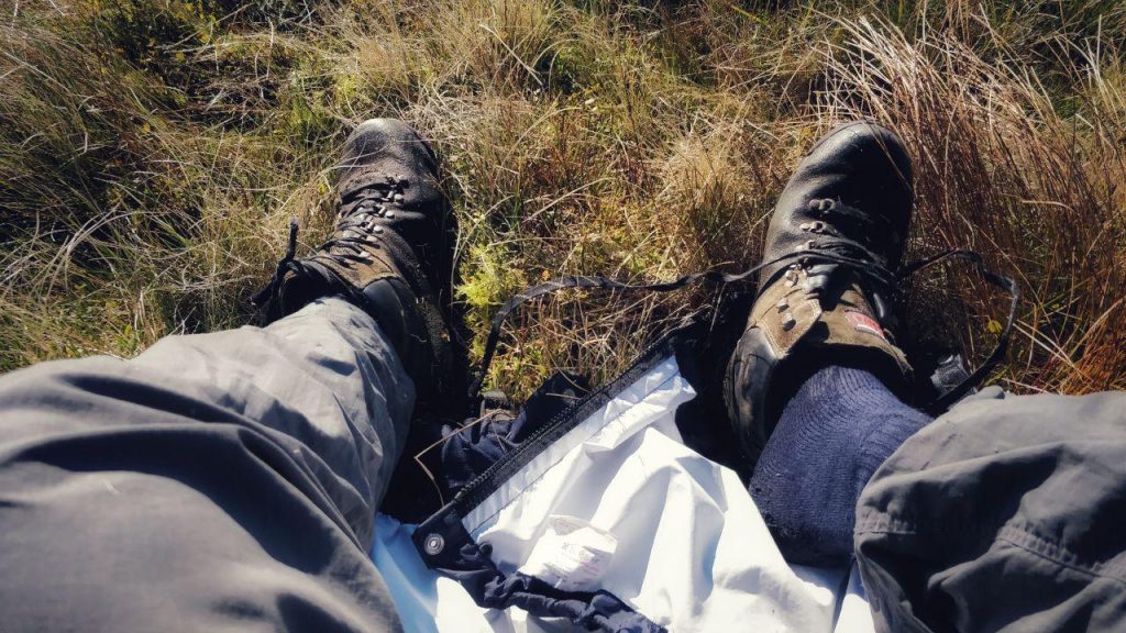
By the time I got back to the car, I’d walked 21.57km. As I peeled off my sodden boots and walking socks, I saw the mother of all blisters on my left heel. From prior experience, I decided to do something about that, especially as I had a two-hour drive ahead of me. I got out my first aid kit, sterilised my scissors, cut a small nick in the blister, and drained it of fluid. I then covered what was left with plasters and drove home.
Things I learned:
- Boggy walks are tedious and energy-sapping.
- Always use poles to test the ground if unsure.
- Stop still for phone calls to ensure I don’t get distracted and wander off-course.
Thanks as always for the updates Doug, it’s good to see you edging ever closer those requisite QMDs for assessment.
Keep going….
Thanks Craig! You never know, I might get on that course eventually…